Winter Weather Returns to Southeast Wyoming Sunday
Southeast Wyoming will see above average temperatures Friday and Saturday before the next shot of cold and snow.
The National Weather Service in Cheyenne issued the following statement Friday morning:
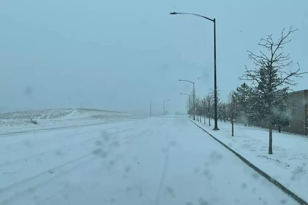
The warming trend continues today through Saturday under clear skies as a ridge of high pressure moves over southeast Wyoming and the western Nebraska Panhandle. Breezy conditions each morning help accelerate warming east of the Laramie Range. May see gusts to 50 mph along the wind-prone areas of southeast Wyoming Saturday morning. By Sunday, as a deep closed low passes across Colorado, the I-80 corridor looks like it’ll see snow that may combine with winds for hazardous travel conditions. Flow aloft turns northwesterly Monday, for widespread snow and windy conditions in the wake of Sunday’s low. Widespread snow, especially impacting the mountains continues Tuesday. For your updated forecast: weather.gov/cys. For road conditions: wyoroad.info or 511.nebraska.gov.
More From KGAB


