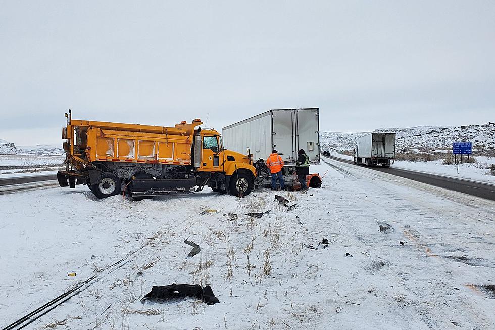
While its not clear exactly how much snow we can expect and where it will fall, the Cheyenne Office of the National Weather Service says another blast winter weather may hit southeast Wyoming and the Nebraska Panhandle next week.

The agency posted this statement on it's website:

Uncertainty is the word of the extended forecast. Snow potential going into the weekend, then high wind chances, followed by more snow possible! The image is showing Probability of Precipitation Forecast, highlighting Monday through Wednesday for potential wintry impacts. We have confidence that any precipitation that falls will be snow for most of Wyoming, but may start as rain in the Nebraska panhandle. There is low confidence in exact snow amounts, locations of the snow amounts, and timing. For the latest snow forecast, go to weather.gov/cys/winter
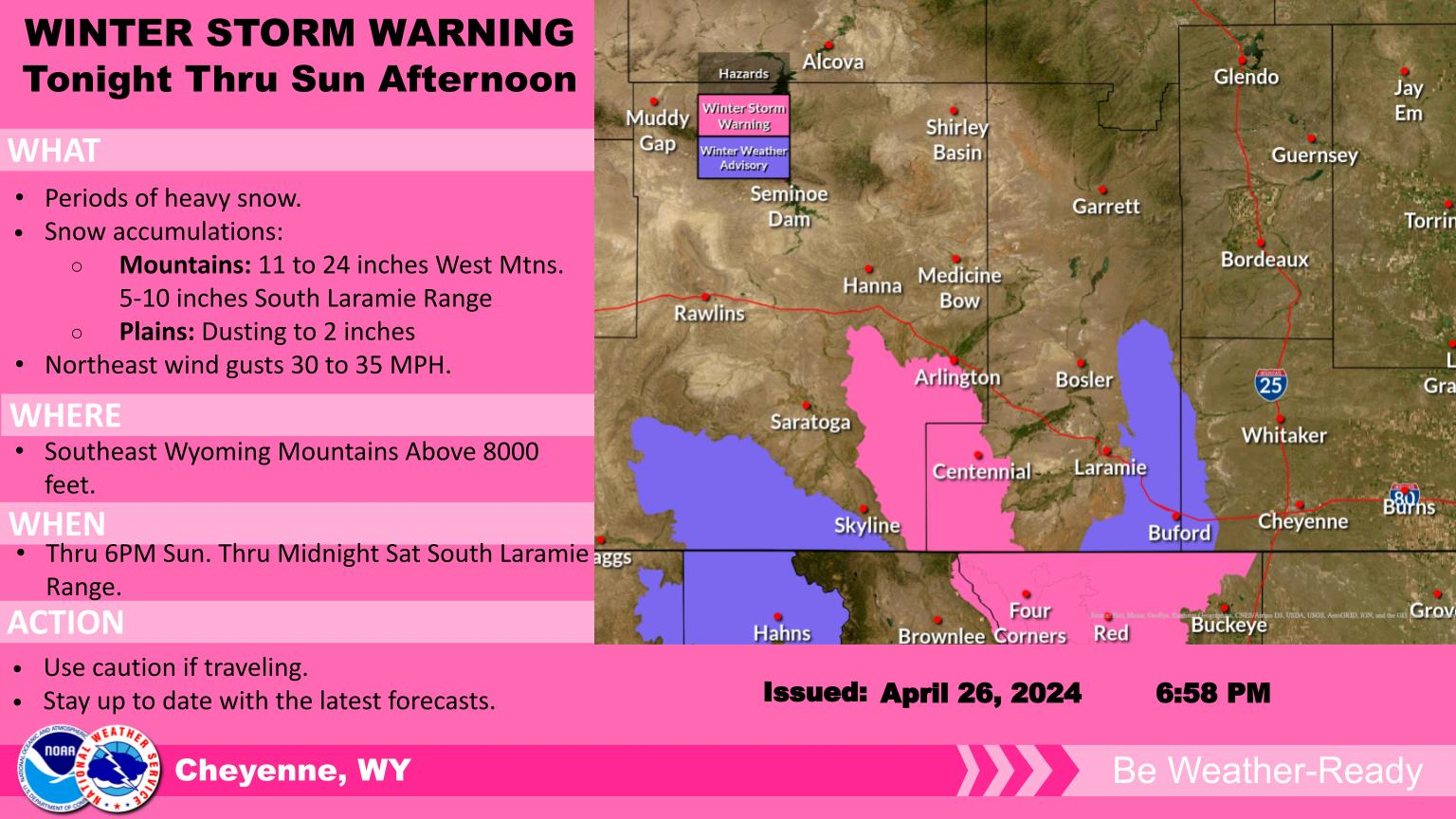

Here is the Cheyenne forecast for the next week:

Today
Patchy fog before 9am. Otherwise, mostly sunny, with a high near 57. Breezy, with a south southwest wind 10 to 15 mph increasing to 20 to 25 mph in the afternoon. Winds could gust as high as 35 mph.
Tonight
A chance of rain showers before 8pm, then a chance of rain and snow showers between 8pm and 9pm, then a chance of snow showers after 9pm. Mostly cloudy, with a low around 27. Blustery, with a west northwest wind 15 to 25 mph, with gusts as high as 35 mph. Chance of precipitation is 40%.
Friday
A 20 percent chance of snow showers before noon. Partly sunny, with a high near 47. Windy, with a northwest wind 25 to 30 mph increasing to 30 to 35 mph in the morning. Winds could gust as high as 55 mph.
Friday Night
Mostly clear, with a low around 28. Windy, with a west northwest wind 20 to 30 mph, with gusts as high as 50 mph.
Saturday
Sunny, with a high near 55. Breezy, with a southwest wind 15 to 20 mph, with gusts as high as 30 mph.
Saturday Night
Partly cloudy, with a low around 32.
Sunday
Sunny, with a high near 59. Breezy.
Sunday Night
A slight chance of rain showers before 8pm, then a slight chance of rain and snow showers between 8pm and 11pm, then a slight chance of snow showers after 11pm. Partly cloudy, with a low around 28. Breezy.
Monday
A chance of snow showers before noon, then a chance of rain showers. Mostly sunny, with a high near 54. Breezy.
Monday Night
Rain showers likely before 9pm, then rain and snow showers likely between 9pm and 11pm, then snow showers likely after 11pm. Mostly cloudy, with a low around 24. Breezy.
Tuesday
Snow showers likely. Patchy blowing snow. Mostly cloudy, with a high near 35. Breezy.
Tuesday Night
A chance of snow showers. Patchy blowing snow. Mostly cloudy, with a low around 13. Blustery.
Wednesday
A slight chance of snow showers. Patchy blowing snow. Partly sunny, with a high near 31. Blustery.
Here is the Laramie forecast:
Today
A chance of rain and snow showers before 1pm, then a chance of rain showers between 1pm and 5pm, then a chance of snow showers after 5pm. Patchy fog before 9am. Otherwise, sunny, with a high near 54. Breezy, with a southwest wind 10 to 15 mph increasing to 20 to 25 mph in the afternoon. Winds could gust as high as 40 mph. Chance of precipitation is 30%.
Tonight
A 30 percent chance of snow showers. Mostly cloudy, with a low around 24. Windy, with a west wind 25 to 30 mph, with gusts as high as 45 mph.
Friday
A 30 percent chance of snow showers, mainly before noon. Partly sunny, with a high near 39. Windy, with a northwest wind 30 to 40 mph, with gusts as high as 60 mph.
Friday Night
Mostly clear, with a low around 26. Windy, with a west wind 30 to 35 mph, with gusts as high as 50 mph.
Saturday
Sunny, with a high near 49. Windy, with a west southwest wind around 30 mph, with gusts as high as 45 mph.
Saturday Night
Partly cloudy, with a low around 33. Breezy.
Sunday
Sunny, with a high near 53. Windy.
Sunday Night
A chance of rain showers before 7pm, then a chance of snow showers. Partly cloudy, with a low around 29. Breezy.
Monday
A chance of snow showers. Partly sunny, with a high near 49. Breezy.
Monday Night
Snow showers likely. Mostly cloudy, with a low around 21. Breezy.
Tuesday
Snow showers. Patchy blowing snow. Mostly cloudy, with a high near 29. Blustery.
Tuesday Night
A chance of snow showers. Patchy blowing snow. Mostly cloudy, with a low around 10. Blustery.
Wednesday
A chance of snow showers. Patchy blowing snow. Partly sunny, with a high near 25. Blustery.
Today
A chance of rain and snow showers before 1pm, then a chance of rain showers between 1pm and 5pm, then a chance of snow showers after 5pm. Patchy fog before 9am. Otherwise, sunny, with a high near 54. Breezy, with a southwest wind 10 to 15 mph increasing to 20 to 25 mph in the afternoon. Winds could gust as high as 40 mph. Chance of precipitation is 30%.
Tonight
A 30 percent chance of snow showers. Mostly cloudy, with a low around 24. Windy, with a west wind 25 to 30 mph, with gusts as high as 45 mph.
Friday
A 30 percent chance of snow showers, mainly before noon. Partly sunny, with a high near 39. Windy, with a northwest wind 30 to 40 mph, with gusts as high as 60 mph.
Friday Night
Mostly clear, with a low around 26. Windy, with a west wind 30 to 35 mph, with gusts as high as 50 mph.
Saturday
Sunny, with a high near 49. Windy, with a west southwest wind around 30 mph, with gusts as high as 45 mph.
Saturday Night
Partly cloudy, with a low around 33. Breezy.
Sunday
Sunny, with a high near 53. Windy.
Sunday Night
A chance of rain showers before 7pm, then a chance of snow showers. Partly cloudy, with a low around 29. Breezy.
Monday
A chance of snow showers. Partly sunny, with a high near 49. Breezy.
Monday Night
Snow showers likely. Mostly cloudy, with a low around 21. Breezy.
Tuesday
Snow showers. Patchy blowing snow. Mostly cloudy, with a high near 29. Blustery.
Tuesday Night
A chance of snow showers. Patchy blowing snow. Mostly cloudy, with a low around 10. Blustery.
Wednesday
A chance of snow showers. Patchy blowing snow. Partly sunny, with a high near 25. Blustery

6 Reasons to Road Trip to Yellowstone

More From KGAB