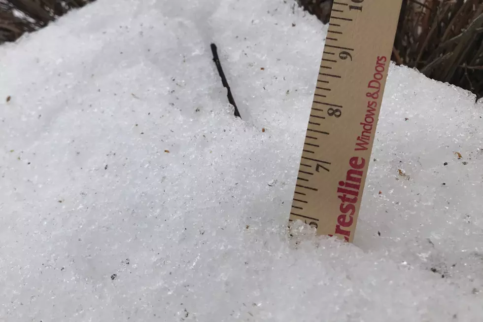
Update: Cheyenne, Laramie Could Get Over 6 Inches Of Snow By Wednesday
The Cheyenne Office of the National Weather Service is now saying Cheyenne and Laramie could get over 6 inches of snow in additions to brutally cold subzero wind chills over the next couple of days.

Both communities are also now facing a Winter Weather Advisory starting on Tuesday afternoon.
The agency posted the following update on Monday afternoon:
Here are snowfall probabilities across the area through Wednesday morning. Most locations have a good chance at seeing at least 2 inches of snow during this time period, with areas along and east of Interstate 25 seeing a decent shot at over 4 inches of snow. Heavy banded snow is possible, especially Tuesday afternoon and evening along the Interstate 80 corridor. Any location that ends up under one of these heavy snow bands could see locally higher amounts of snow greater than 6 inches. Snow squalls could also be possible on Tuesday. Blustery conditions could also exists which could create areas of blowing and drifting snow, lowering visibility. Snow will taper off late Tuesday night. Winter Weather Advisories are in place.

The agency is still calling for dangerously cold wind chills
Dangerously cold wind chills are expected over the next several days. The arctic front will be stuck along the Laramie Range, so areas east of the range will be most affected by cold temperatures and wind chills. The coldest temperatures and wind chills are expected tonight and Tuesday night. Extreme Cold Warnings and Cold Weather Advisories are in place.

Cheyenne, Laramie Forecast
Cheyenne Forecast
Diviest Bars in Wyoming with Hilarious Yelp Reviews to Boot
More From KGAB


