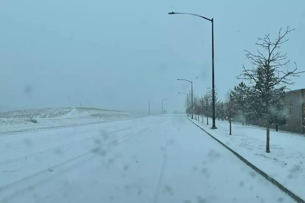
NWS Cheyenne: Snow Returns Thursday Followed by Single-Digit Lows
A slow-moving cold front is expected to bring another round of snow and arctic air to southeast Wyoming later this week.
According to the National Weather Service in Cheyenne, the front is expected to move south out of Montana, bringing increased chances for snow from north to south each day.

"By Thursday, the front looks to lay across southeast Wyoming from Pine Bluffs to Douglas to northwestern Wyoming," the NWS said.
"Widespread snow is looking like a pretty good bet by Thursday afternoon and evening across much of the forecast area," the NWS added.
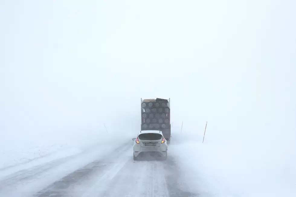
The front is expected to move into Colorado by Friday morning, which will send temperatures behind it plummeting, and could even send overnight temperatures into the single digits.

12/425AM: Howdy! Giving folks a heads up that a slow moving cold front is expected to move south out of Montana. This front will bring increasing chances for snow from north to south each day. By Thursday, the front looks to lay across southeast Wyoming from Pine Bluffs to Douglas to northwestern Wyoming. Widespread snow is looking like a pretty good bet by Thursday afternoon and evening across much of the forecast area. By Friday morning, the front will push south across the Wyoming/Colorado state line, with snow ending from north to south. Very cold temperatures behind the front for Saturday morning with single digit lows expected overnight. Stay tuned!
Old Wives Tales About Weather And Why They're Right
How to Keep Your Pets Safe in the Snow/Freezing Weather
More From KGAB