NWS Cheyenne: Bitterly Cold Today, Warming Trend Ahead
It's going to be much colder today with temperatures struggling to reach the freezing mark, the National Weather Service in Cheyenne says.
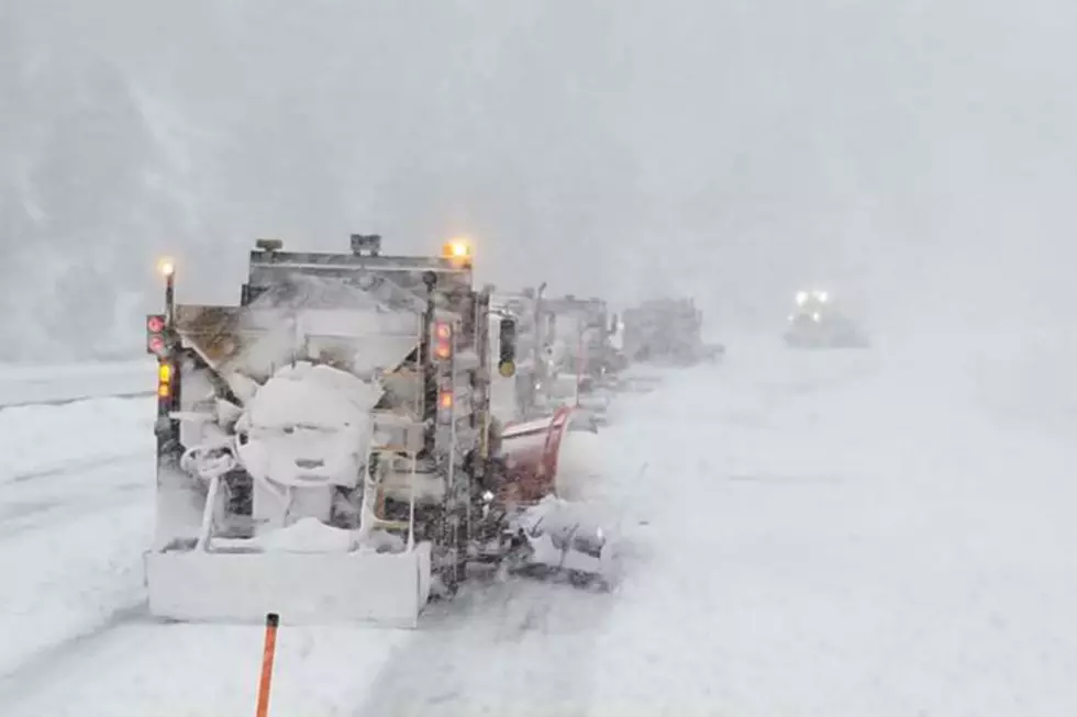
"Daytime highs are expected to be in the 20s for areas along and east of I-25, with upper teens west," the NWS said.
"Windy conditions will persist, especially for areas along and east of the Laramie Range where gusts may frequently exceed 40 MPH through this afternoon," the NWS added.

Unfortunately, it looks like the wind will be sticking around -- surprise, surprise -- but the good news is temperatures will be trending warmer through the weekend into early next week.

610 AM MST Thursday, February 9 - After a few lingering light snow showers this morning, much colder today. Daytime highs are expected to be in the 20s for areas along and east of I-25, with upper teens west. Windy conditions will persist, especially for areas along and east of the Laramie Range where gusts may frequently exceed 40 MPH through this afternoon. Gusty winds are expected to persist along I-25 near Bordeaux through early Saturday morning. Fortunately, temperatures will be trending warmer through the weekend into early next week.
It's Sooooooooo Cold.... Jokes
Gallery Credit: Michael Rock
Here's What Wyomingites REALLY Think About The Wind
More From KGAB