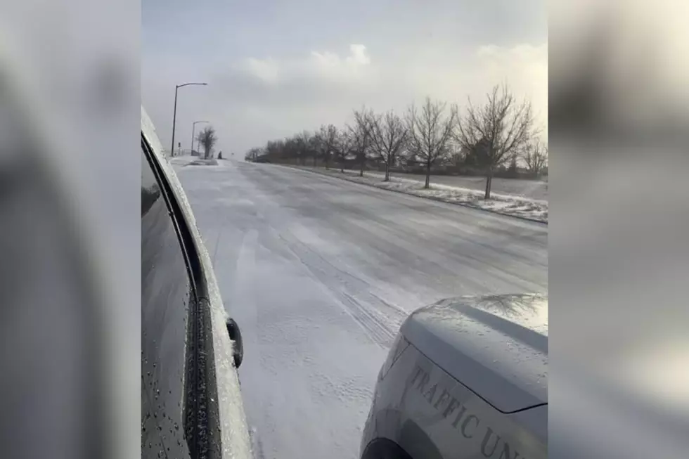
More Snow For SE Wyoming Starting Thursday, Dry And Warmer Sunday
It looks like southeast Wyoming residents can expect a few more days of dreary, wet weather ahead of a warming trend on Sunday..
That's according to the Cheyenne Office of the National Weather Service.
The agency posted the following on its website: Precipitation chances continue through the end of the week before dry conditions return for Sunday. Breezy conditions expected Thursday through Saturday with mostly cloudy skies. Expect temperatures to be on the cooler side due to cloud cover and precipitation.

Cheyenne, Laramie Forecasts
Cheyenne Forecast
This Afternoon
A 20 percent chance of snow showers. Partly sunny, with a high near 43. Windy, with a west northwest wind 20 to 30 mph, with gusts as high as 40 mph.
Tonight
Mostly clear, with a low around 20. Blustery, with a west northwest wind 15 to 20 mph becoming light and variable after midnight. Winds could gust as high as 30 mph.
Thursday
A 50 percent chance of snow showers, mainly after noon. Partly sunny, with a high near 38. South wind 5 to 10 mph becoming southeast 10 to 15 mph in the afternoon.
Thursday Night
A 40 percent chance of snow showers. Mostly cloudy, with a low around 23. East southeast wind 5 to 15 mph becoming west after midnight.
Friday
Snow likely, mainly after noon. Mostly cloudy, with a high near 38. Breezy, with a west northwest wind 5 to 10 mph becoming north northeast 15 to 20 mph in the morning. Winds could gust as high as 30 mph. Chance of precipitation is 60%.
Friday Night
Snow likely, mainly before midnight. Mostly cloudy, with a low around 19. Blustery. Chance of precipitation is 70%.
Saturday
A 20 percent chance of snow showers before noon. Partly sunny, with a high near 40.
Saturday Night
Partly cloudy, with a low around 20.
Sunday
Mostly sunny, with a high near 50. Breezy.
Sunday Night
Partly cloudy, with a low around 26.
Monday
Sunny, with a high near 59.
Monday Night
Partly cloudy, with a low around 33.
Tuesday
Mostly sunny, with a high near 62. Breezy.
Laramie Forecast
This Afternoon
A 20 percent chance of snow showers. Mostly cloudy, with a high near 36. Breezy, with a west northwest wind 15 to 25 mph, with gusts as high as 35 mph.
Tonight
Mostly clear, with a low around 16. West northwest wind 10 to 15 mph becoming light and variable after midnight.
Thursday
A 40 percent chance of snow showers, mainly after noon. Partly sunny, with a high near 37. Southeast wind 5 to 10 mph increasing to 10 to 15 mph in the afternoon.
Thursday Night
A 30 percent chance of snow showers, mainly before midnight. Mostly cloudy, with a low around 19. Southeast wind 10 to 15 mph decreasing to 5 to 10 mph after midnight.
Friday
A 50 percent chance of snow. Mostly cloudy, with a high near 35. Light and variable wind becoming northeast 10 to 15 mph in the morning.
Friday Night
A 40 percent chance of snow. Cloudy, with a low around 16.
Saturday
Partly sunny, with a high near 38.
Saturday Night
Partly cloudy, with a low around 15.
Sunday
Mostly sunny, with a high near 45.
Sunday Night
Partly cloudy, with a low around 23.
Monday
Sunny, with a high near 55.
Monday Night
Partly cloudy, with a low around 29.
Tuesday
Mostly sunny, with a high near 55.
A Dozen Facts about Antlers
This information is supplied by wildlife writer Bill Brian for the Wyoming Game and Fish Department.
Gallery Credit: Kolby Fedore, TSM
More From KGAB


