Golf-Ball Size Hail Possible In SE Wyoming Saturday
The Cheyenne Office of the National Weather Service has released the following statement for Saturday, July 28:
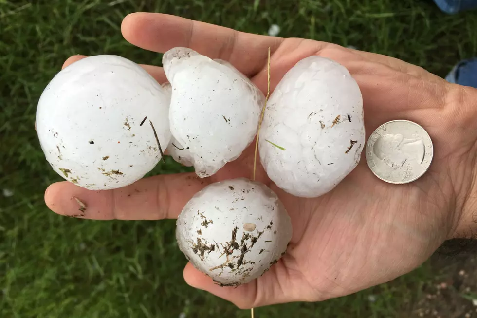
"Severe thunderstorms are expected to return early this afternoon and continue through the evening across southeast Wyoming and Nebraska Panhandle. The risk area covers a large area identified in yellow on this graphic for areas east of the Laramie Range. Storms are expected to become severe after noon today and could continue into this evening. Large hail to golf ball size and damaging winds are the expected thunderstorm threats. Stay alert through the afternoon and early evening as storms develop and conditions change. Storms will shift out of the area to the south and east by around 10 pm."

More From KGAB


