Forecasters Uncertain On Expected SE Wyoming Storm Snowfall
Forecasters with the Cheyenne Office of the National Weather Service say there is a lot of uncertainty about what sort of snowfall southeast Wyoming residents can expect with an incoming winter storm.
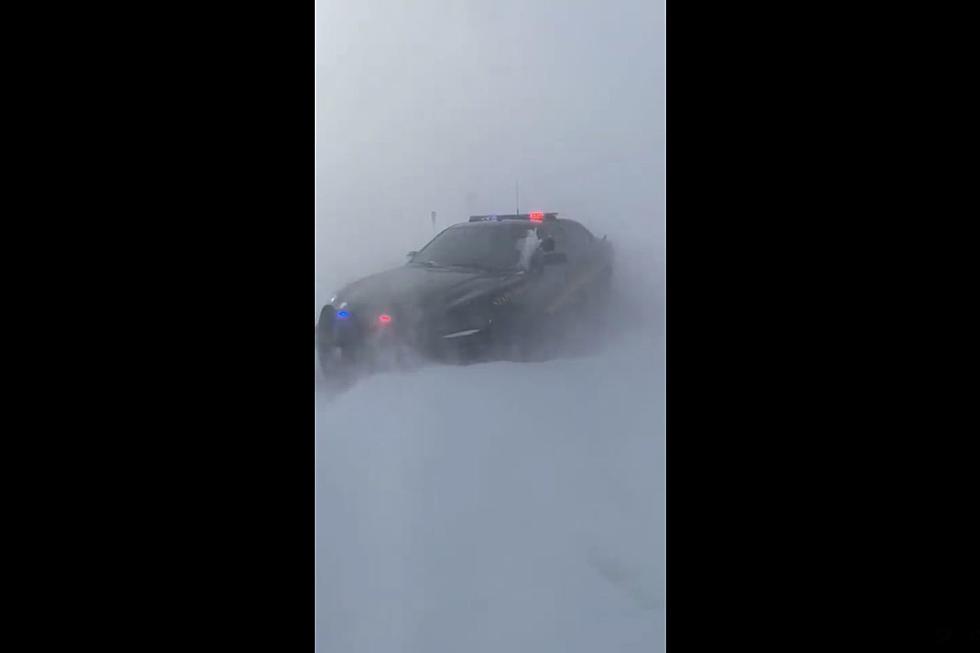
What they are fairly certain of is strong winds, and some combination of snow and rain. They say there is a good chance of potentially significant travel impacts, including whiteout conditions, drifting snow and slick roads.
The area covered by a Winter Storm Watch has now been expanded to include Laramie. Cheyenne remains under a Winter Storm Watch as well.
The agency posted the following on its website:
Details for the upcoming system expected to impact our area remain difficult this morning due to high uncertainty in the models. What we do know: gusty winds should begin impacting the area overnight tonight into Tuesday, with rain expected later today transitioning to snow overnight into Tuesday. What is uncertain: when this transition occurs alongside where snow bands can set up, which will determine where moderate to possibly heavy amounts will occur. Any snow that does fall alongside the gusty winds will bring periods of low to possibly near-zero visibilities.

Forecasters are more confident that the area will be blasted by strong winds on Tuesday:

Cheyenne, Laramie Forecasts
Cheyenne Forecast
- Winter Storm Watch in effect from March 3, 03:00 PM MST until March 4, 05:00 PM MST
- High Wind Watch in effect from March 4, 02:00 AM MST until March 4, 05:00 PM MST
- TodayRain likely, mainly after 5pm. Mostly cloudy, with a temperature rising to near 54 by 11am, then falling to around 42 during the remainder of the day. North wind 10 to 15 mph. Chance of precipitation is 60%. New precipitation amounts between a tenth and quarter of an inch possible.TonightRain and snow likely before 11pm, then snow. Patchy blowing snow after 11pm. Low around 25. Windy, with a north northwest wind 20 to 30 mph, with gusts as high as 40 mph. Chance of precipitation is 90%. New snow accumulation of 3 to 5 inches possible.TuesdayA 50 percent chance of snow before 11am. Patchy blowing snow. Partly sunny, with a high near 34. Windy, with a north northwest wind 25 to 35 mph, with gusts as high as 45 mph.Tuesday NightPatchy blowing snow before 11pm. Mostly clear, with a low around 19. Blustery, with a north northwest wind 10 to 20 mph, with gusts as high as 30 mph.WednesdayMostly sunny, with a high near 43. West northwest wind 10 to 15 mph.Wednesday NightA 20 percent chance of snow showers after 11pm. Mostly cloudy, with a low around 23.ThursdaySnow showers likely, mainly after 11am. Mostly cloudy, with a high near 43. Chance of precipitation is 60%.Thursday NightSnow showers. Mostly cloudy, with a low around 21.FridaySnow showers likely, mainly before 11am. Mostly cloudy, with a high near 34. Breezy.Friday NightPartly cloudy, with a low around 17.SaturdaySunny, with a high near 46. Breezy.Saturday NightMostly clear, with a low around 27. Breezy.SundaySunny, with a high near 57. Breezy.
Laramie Forecast
- Winter Storm Watch in effect from March 3, 03:00 PM MST until March 4, 11:00 AM MST
- TodaySnow likely, mainly after 2pm. Mostly cloudy, with a temperature rising to near 47 by 11am, then falling to around 37 during the remainder of the day. West southwest wind 5 to 15 mph becoming north in the afternoon. Chance of precipitation is 60%. Total daytime snow accumulation of less than one inch possible.TonightSnow likely. Patchy blowing snow after 3am. Cloudy, with a low around 22. Blustery, with a north wind 15 to 20 mph, with gusts as high as 30 mph. Chance of precipitation is 70%. New snow accumulation of 2 to 4 inches possible.TuesdayA 50 percent chance of snow before 11am. Patchy blowing snow. Mostly cloudy, with a high near 32. Breezy, with a north northwest wind 20 to 25 mph, with gusts as high as 35 mph.Tuesday NightPatchy blowing snow before 11pm. Partly cloudy, with a low around 18. West northwest wind 10 to 15 mph.WednesdayMostly sunny, with a high near 40. West wind 10 to 15 mph.Wednesday NightA 20 percent chance of snow showers after 11pm. Mostly cloudy, with a low around 23.ThursdaySnow showers likely, mainly after 11am. Mostly cloudy, with a high near 41. Chance of precipitation is 70%.Thursday NightSnow showers. Mostly cloudy, with a low around 20.FridaySnow showers likely, mainly before 11am. Mostly cloudy, with a high near 32.Friday NightPartly cloudy, with a low around 13.SaturdaySunny, with a high near 41.Saturday NightMostly clear, with a low around 20.SundaySunny, with a high near 50.
More From KGAB


