Forecasters Downgrade Snowfall Predictions For SE Wyoming
Forecasters with the Cheyenne Office of the National Weather Service have downgraded the amount of snow expected with a winter storm that is entering the area.
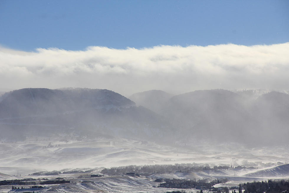
But even so, strong winds and blowing snow will still create travel concerns in many areas. Areas of the Nebraska Panhandle to the east could still see severe winter storm activity, with some areas under a Blizzard Warning.
But what had been a Winter Storm Watch for Cheyenne and Laramie has now been downgraded to a less severe Winter Weather Advisory, and predictions of a possible six inches of snow or more are now at only a couple of inches or so.
Here are the key points in an upgraded weather statement issued early Monday afternoon:
Key Messages
➔ Overview: A powerful storm system is moving into the area this afternoon, bringing rain, snow, and widespread strong winds.
➔ Uncertainty: Timing of the rain/snow changeover and location of the western edge of heavy precipitation will play a large role in snow totals, but the lower end scenario is now slightly more likely.
➔ Blizzard Warnings issued for Banner, Kimball, and Cheyenne Counties in NE ◆ 11PM Mon - 5PM Tue
➔ High Wind Warning issued for most of the High Plains ◆ 2AM to 5PM Tuesday
➔ Winter Weather Advisory for falling and blowing snow issued for Wyoming I-80 corridor and central/northern NE panhandle

Updated Cheyenne, Laramie Forecasts
Cheyenne Forecast
Laramie Forecast
- Winter Weather Advisory in effect from March 3, 05:00 PM MST until March 4, 05:00 AM MST
- This AfternoonSnow showers likely. Some thunder is also possible. Cloudy, with a high near 50. North northwest wind around 10 mph. Chance of precipitation is 60%. Total daytime snow accumulation of less than a half inch possible.TonightSnow showers likely. Cloudy, with a low around 23. Blustery, with a north northwest wind 15 to 20 mph, with gusts as high as 30 mph. Chance of precipitation is 70%. New snow accumulation of around an inch possible.TuesdayA 40 percent chance of snow showers, mainly before 11am. Cloudy, with a high near 32. Breezy, with a north northwest wind 20 to 25 mph, with gusts as high as 35 mph.Tuesday NightPartly cloudy, with a low around 17. West wind 5 to 15 mph.WednesdayMostly sunny, with a high near 42. West wind 5 to 15 mph.Wednesday NightSnow showers likely, mainly after 11pm. Cloudy, with a low around 26. Chance of precipitation is 60%.ThursdaySnow showers. High near 39. Chance of precipitation is 80%.Thursday NightSnow showers. Cloudy, with a low around 18.FridayA chance of snow showers. Cloudy, with a high near 29.Friday NightPartly cloudy, with a low around 9.SaturdaySunny, with a high near 37.Saturday NightMostly clear, with a low around 20.SundaySunny, with a high near 45.Sunday NightMostly clear, with a low around 24.MondayPartly sunny, with a high near 49.
Wyoming Knife Master
Gallery Credit: Glenn Woods
More From KGAB


