UPDATE: Crash on Westbound I-80 Near Buford Cleared
3:39 P.M. UPDATE:
The crash has been cleared.
ORIGINAL STORY:
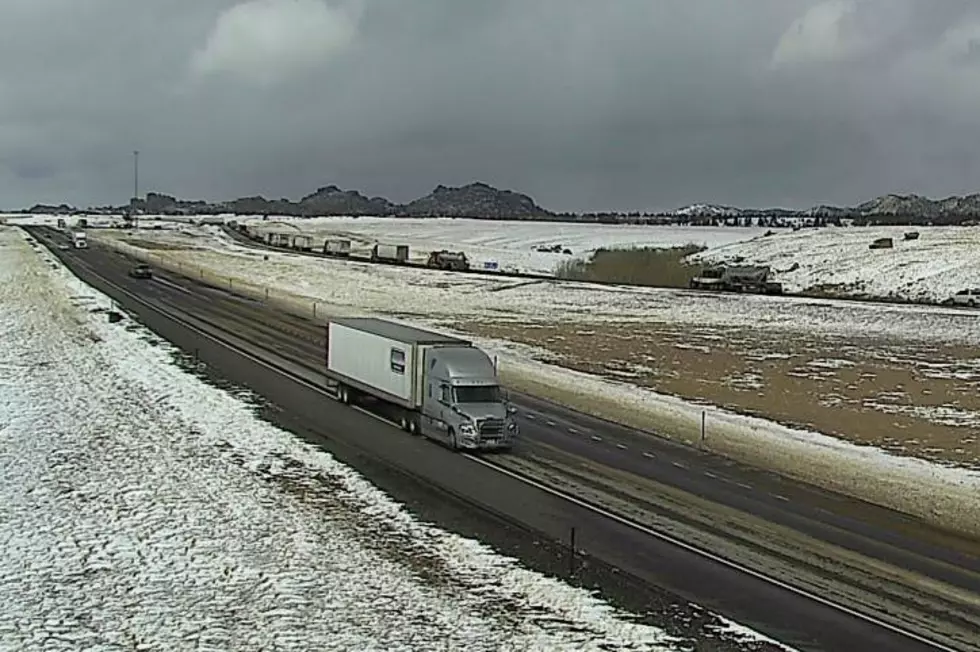
A crash is blocking the westbound lanes of Interstate 80 near Buford, according to the Wyoming Department of Transportation.
WYDOT says drivers should be prepared to stop and expect delays.
A High Wind Warning is in effect for the area until 8 p.m. this evening.
URGENT - WEATHER MESSAGE
National Weather Service Cheyenne WY
149 AM MST Fri Feb 26 2021

WYZ106-116-117-270000-
/O.CON.KCYS.HW.W.0018.000000T0000Z-210227T0300Z/
Central Laramie Range and Southwest Platte County-
South Laramie Range-South Laramie Range Foothills-
Including the cities of Bordeaux, Buford, Pumpkin Vine, Vedauwoo,
Whitaker, Federal, and Horse Creek
149 AM MST Fri Feb 26 2021

...HIGH WIND WARNING REMAINS IN EFFECT UNTIL 8 PM MST THIS
EVENING...

* WHAT...West winds 30 to 40 mph with gusts up to 65 mph
  expected.

* WHERE...Central Laramie Range and Southwest Platte County,
  South Laramie Range and South Laramie Range Foothills,
  including the cities of Bordeaux, Buford, Pumpkin Vine,
  Whitaker, and Vedauwoo.

* WHEN...From 8 PM this evening to 8 PM MST Friday.

* IMPACTS...Mainly to transportation. Strong cross winds will be
  hazardous to light weight and high profile vehicles, including
  campers and tractor trailers. There will be an extreme risk
  for vehicle blow overs. Patchy blowing snow may reduce
  visibilities at times.

PRECAUTIONARY/PREPAREDNESS ACTIONS...

People should avoid being outside in forested areas and around
trees and branches. If possible, remain in the lower levels of
your home during the windstorm, and avoid windows. Use caution if
you must drive.
I-80 between Walcott Junction and Laramie is also closed to light and high-profile vehicles due to gusting winds.

Get our free mobile app
Drivers are encouraged to call 511 or go to wyoroad.info for the latest road conditions.
CHECK IT OUT: 'Tree Rock' on I-80 West of Cheyenne
More From KGAB


