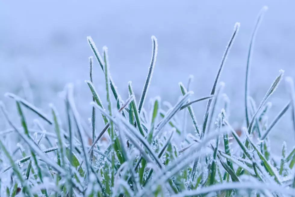
Southeast Wyoming residents can expect a cold ending to a rather dreary week on Friday and Saturday.

But warmer days are just ahead.

That's according to the Cheyenne Office of the National Weather Service.

The agency posted the following on its website:  cold end to the week behind a cold front moving across the region this evening. Temperatures Friday will struggle to get out of the 30s with Friday night/Saturday morning lows bottoming out in the low teens to upper-single digits. Snow chances will slowly taper off Friday evening into the overnight hours with temperatures bouncing back into the 40s on Saturday afternoon. Despite this, next week is looking quite nice!


But warmer weather is on the way!


Cheyenne, Laramie Forecasts

Cheyenne Forecast

Today
Snow showers likely, mainly before 3pm. Cloudy, with a high near 33. Breezy, with a north wind around 20 mph, with gusts as high as 35 mph. Chance of precipitation is 70%. Total daytime snow accumulation of less than one inch possible.
Tonight
A 20 percent chance of snow showers before midnight. Mostly cloudy, then gradually becoming mostly clear, with a low around 16. North northeast wind 5 to 15 mph becoming northwest after midnight. Winds could gust as high as 25 mph.
Saturday
Sunny, with a high near 43. Northwest wind 5 to 10 mph.
Saturday Night
Mostly clear, with a low around 21. North wind 5 to 10 mph becoming west northwest after midnight.
Sunday
Sunny, with a high near 54. Breezy, with a north northwest wind 10 to 20 mph, with gusts as high as 30 mph.
Sunday Night
Mostly clear, with a low around 27.
Monday
Sunny, with a high near 63.
Monday Night
Partly cloudy, with a low around 37.
Tuesday
Mostly sunny, with a high near 64. Breezy.
Tuesday Night
Partly cloudy, with a low around 37. Breezy.
Wednesday
Sunny, with a high near 65. Breezy.
Wednesday Night
Mostly clear, with a low around 39. Breezy.
Thursday
Sunny, with a high near 69.
Laramie Forecast
Today
Snow showers likely, mainly before noon. Patchy blowing snow between 1pm and 3pm. Mostly cloudy, with a high near 29. Blustery, with a northeast wind 10 to 15 mph increasing to 15 to 20 mph in the afternoon. Winds could gust as high as 30 mph. Chance of precipitation is 60%. Total daytime snow accumulation of less than one inch possible.
Tonight
A 20 percent chance of snow showers before midnight. Mostly cloudy, with a low around 12. Northeast wind 5 to 15 mph becoming west southwest after midnight.
Saturday
Sunny, with a high near 36. West wind 5 to 10 mph becoming north northwest in the afternoon.
Saturday Night
Mostly clear, with a low around 18. West wind 5 to 10 mph.
Sunday
Mostly sunny, with a high near 46. Breezy, with a northwest wind 10 to 20 mph, with gusts as high as 30 mph.
Sunday Night
Mostly clear, with a low around 25.
Monday
Sunny, with a high near 56. Breezy.
Monday Night
Partly cloudy, with a low around 34.
Tuesday
Mostly sunny, with a high near 56. Breezy.
Tuesday Night
Partly cloudy, with a low around 34. Breezy.
Wednesday
Sunny, with a high near 57. Windy.
Wednesday Night
Mostly clear, with a low around 35. Breezy.
Thursday
Sunny, with a high near 63. Breezy.

WYDOT Urges 'Don't Crowd the Plow!' After 105 Plows Hit in 5 Years

Gallery Credit: Joy Greenwald

More From KGAB