Cheyenne NWS: Snow Accumulations, Blowing Snow Possible Friday
The Cheyenne Office of the National Weather Service says snow accumulations are possible in southeast Wyoming by Christmas Eve Day [Friday].
But at this point that still is uncertain, according to a post, the agency posted on its website:
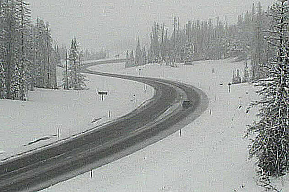
A lot going on weather-wise across southeast Wyoming and Nebraska Panhandle this upcoming week. Strong winds look to continue Tuesday and Wednesday across southeast Wyoming. Likely to see travel impacts for light weight and high profile vehicles in our wind prone areas. Strong winds could be more widespread Tuesday, spilling out of the wind prone areas and impacting more areas. For later in the week, we need to be watching for widespread snow that could impact the area Thursday and Friday. Confidence is low at this time on snow amounts and coverage, but the possibility is there for widespread impacts from accumulating snow. Especially on Friday (Christmas Eve), when strong winds are expected to develop. If we get any snow accumulations, these stronger winds will create blowing snow and poor visibility across a large area. Stay tuned as we get closer to the event, for later updates and statements.

Amazing Amazon Secret Santa Gifts
More From KGAB


