70 MPH Winds, Blowing Snow Possible In SE Wyoming Forecast
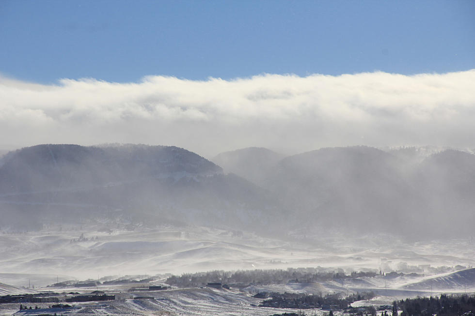
Strong winds, snow and possible blowing snow is possible in southeast Wyoming this week.

That's according to the Cheyenne Office of the National Weather Service.
The agency posted the following on its website: Dec. 30th, 5:30am - The High Wind Warning for Bordeaux has expired, but wind gusts up to 50 mph will continue for the next few hours. The remaining High Wind Warnings remain in effect until 5pm this evening. Wind gusts between 60 and 70 mph are expected across these warnings.

Winter Weather Advisories have also been issued for some areas.
Blowing snow will be a threat within all the Advisory areas. Here’s a breakdown of timing, expected totals, and maximum wind gusts: Northern Carbon County and the North Laramie Range: Now through 5am Tuesday, 4 to 8 inches with locally higher amounts possible, winds gusting up to 70mph Sierra Madre and Snowy Range: Now through 11pm Tonight, 6 to 12 inches with locally higher amounts possible, winds gusting up to 70mph Dawes County: 8am today through 11pm tonight, 1 to 3 inches with locally higher amounts greater than 6 inches possible, winds gusting up to 50mph

Cheyenne, Laramie Forecasts
Cheyenne Forecast
Laramie Forecast:
Ghost Hunters Investigate Haunted Wyoming Radio Station
Gallery Credit: Glenn Woods
More From KGAB


