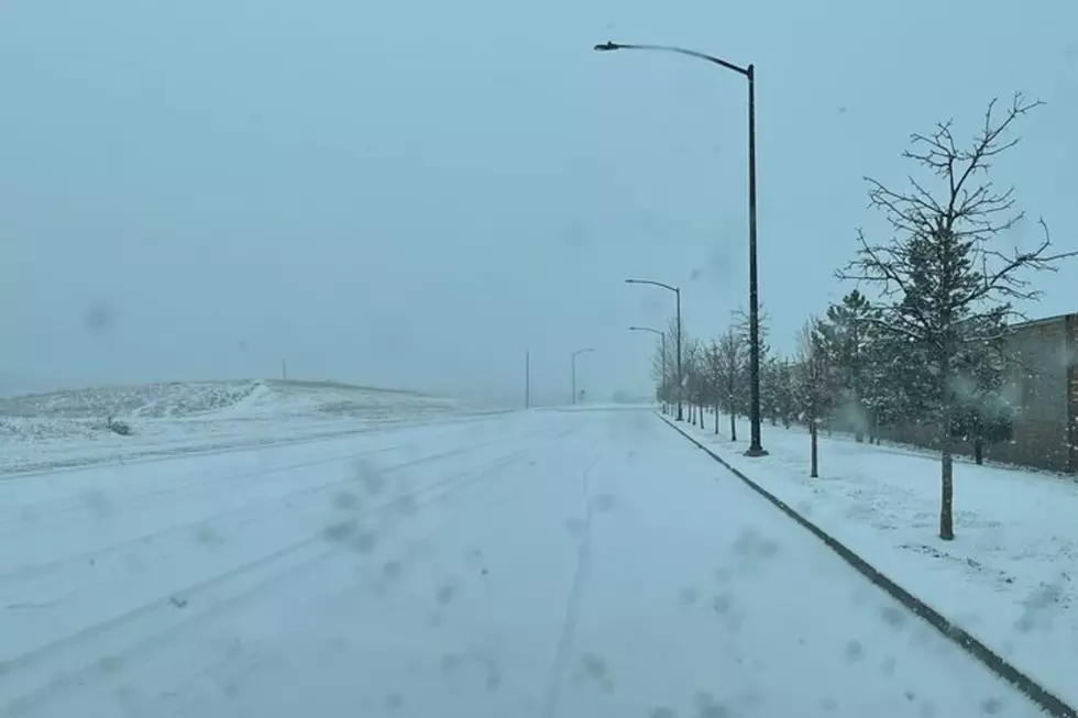
Winter Weather Advisories have been issued for the Sierra Madre and Snowy Range Mountains of southeast Wyoming.

That's according to the Cheyenne Office of the National Weather Service:

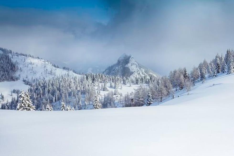
"A Winter Weather Advisory is in effect from 5 PM this afternoon through 5 AM Thursday for the Sierra Madre and Snowy Ranges. Snow accumulations of 5 to 10 inches are possible, with 10 to 18 inches possible in the higher peaks and west facing ridges. Hazardous travel conditions are likely due to snow packed roads and reduced visibility."

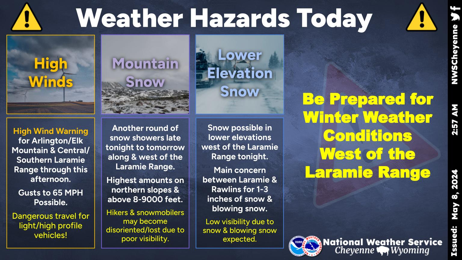
SE Wyoming Forecast for The Next Five Days

 Looking at a busy middle part of the week weather-wise with high winds possible again Tuesday across portions of southeast Wyoming. Then, chances for precipitation increase Tuesday night into Wednesday over the Sierra Madre and Snowy Ranges with accumulating snowfall likely. Snowfall will spread across adjacent areas in Carbon and Albany counties Wednesday with rain and snow showers possible farther east of I-25 through the evening. Lingering mountain snow showers are possible Thursday before clear skies and a warming trend sets in headed towards the weekend. 


Cheyenne and Laramie Forecasts

Cheyenne Forecast:

Today
Mostly sunny, with a high near 52. Windy, with a west wind 25 to 30 mph decreasing to 15 to 20 mph in the afternoon. Winds could gust as high as 40 mph.
Tonight
Partly cloudy, with a low around 30. West wind around 10 mph.
Wednesday
A slight chance of snow before 10am, then a chance of rain and snow between 10am and 3pm, then a chance of snow after 3pm. Partly sunny, with a high near 47. West northwest wind 10 to 15 mph. Chance of precipitation is 40%.
Wednesday Night
Snow likely, mainly before 11pm. Mostly cloudy, with a low around 24. North northwest wind around 10 mph. Chance of precipitation is 60%. New snow accumulation of less than one inch possible.
Thursday
A 20 percent chance of snow showers. Mostly sunny, with a high near 42. West northwest wind 10 to 15 mph.
Thursday Night
Mostly clear, with a low around 24. Breezy.
Friday
Sunny, with a high near 44. Breezy.
Friday Night
Mostly clear, with a low around 26. Blustery.
Saturday
Sunny, with a high near 52. Breezy.
Saturday Night
Mostly clear, with a low around 31. Breezy.
Sunday
Sunny, with a high near 57. Breezy.
Sunday Night
Mostly clear, with a low around 32. Breezy.
Monday
A chance of rain and snow showers. Sunny, with a high near 52. Breezy.
Laramie Forecast:
Today
Mostly sunny, with a high near 46. Breezy, with a west southwest wind 15 to 20 mph, with gusts as high as 30 mph.
Tonight
A slight chance of rain and snow between 8pm and 9pm, then a slight chance of snow after 9pm. Mostly cloudy, with a low around 29. West southwest wind around 15 mph. Chance of precipitation is 20%.
Wednesday
A 40 percent chance of snow. Mostly cloudy, with a high near 42. West southwest wind around 10 mph becoming northwest in the afternoon.
Wednesday Night
Snow likely, mainly before 11pm. Mostly cloudy, with a low around 18. North northwest wind 5 to 10 mph. Chance of precipitation is 60%. New snow accumulation of 1 to 2 inches possible.
Thursday
A 20 percent chance of snow showers. Mostly sunny, with a high near 37. West wind 10 to 15 mph.
Thursday Night
Mostly clear, with a low around 20.
Friday
Sunny, with a high near 39. Breezy.
Friday Night
Mostly clear, with a low around 21. Breezy.
Saturday
Mostly sunny, with a high near 48. Breezy.
Saturday Night
Mostly clear, with a low around 29. Breezy.
Sunday
Sunny, with a high near 49. Breezy.
Sunday Night
Mostly clear, with a low around 30. Breezy.
Monday
A slight chance of snow showers. Mostly sunny, with a high near 45. Breezy.

Backroad Up The Bighorns

There are many ways to explore the Bighorn Mountain.

Not all of the backroads are dangerous.

Some are of good quality, and have the best views you'll ever see.

Gallery Credit: Glenn Woods


More From KGAB