Heavy Snow to Impact Travel Along I-80 in Southeast Wyoming
Another round of snow is expected to hit southeast Wyoming Thursday through Friday, which could make travel along Interstate 80 very difficult.
A Winter Storm Watch is in effect from Thursday morning through Friday afternoon for the South Laramie Range, which includes a 25-mile stretch of I-80 between Laramie and Cheyenne.

URGENT - WINTER WEATHER MESSAGE
National Weather Service Cheyenne WY
120 AM MST Wed Mar 6 2024

WYZ116-070015-
/O.NEW.KCYS.WS.A.0011.240307T1800Z-240309T0000Z/
South Laramie Range-
Including the cities of Buford, Pumpkin Vine, and Vedauwoo
120 AM MST Wed Mar 6 2024

...WINTER STORM WATCH IN EFFECT FROM THURSDAY MORNING THROUGH
FRIDAY AFTERNOON...

* WHAT...Heavy snow possible. Total snow accumulations of 6 to 9
  inches possible.

* WHERE...South Laramie Range to include Interstate 80 between
  mile markers 320 and 345.

* WHEN...From Thursday morning through Friday afternoon.

* IMPACTS...Travel could be very difficult. The hazardous
  conditions could impact the morning or evening commute.

PRECAUTIONARY/PREPAREDNESS ACTIONS...

Monitor the latest forecasts for updates on this situation.
I-80 Summit Could See Upwards of 9 Inches of Snow, Travel Impacts Could Be High
The National Weather Service in Cheyenne says the I-80 Summit could see 6 to 9 inches of snow, good news considering the current fire danger, but bad news for travelers.
The Service says it may also need to issue Winter Weather Advisories for the eastern foothills into Cheyenne, which could likely see 2 to 4 inches of snow, as well as the Snowy Range, which could get 6 to 10 inches.
6/3AM: Greetings! Good news and bad news. Snow looks to return to southeast Wyoming where it is really needed to help with fire weather conditions. Bad news, it's going to fall along Interstate 80 from Cheyenne to Laramie where travel impacts could be high. A Winter Storm Watch has been posted for the I-80 Summit between Cheyenne and Laramie on Interstate 80 from 11 AM Thursday through 5PM Friday. The Summit could see 6-9 inches of snow that would really impact roads and travel. Accumulations in the eastern foothills into Cheyenne of 2-4 inches looking likely as well. May need Winter Weather Advisories posted for this area in near term updates. Finally, the Snowy Range looks to get another 6-10 inches, which could hinder snow mobilers and hikers, a Winter Weather Advisory may be needed for this area as well. Biggest impact will be travel over the Summit though. Stay tuned to later updates in the forecast!
UPDATE: South Laramie Range Upgraded to Winter Storm Warning
A Winter Storm Warning has been issued for the South Laramie Range, effective from 8 a.m. Thursday through 5 p.m. Friday.
Total snow accumulations of 5 to 8 inches are expected, with locally higher amounts possible.
URGENT - WINTER WEATHER MESSAGE
National Weather Service Cheyenne WY
110 PM MST Wed Mar 6 2024

WYZ116-071200-
/O.UPG.KCYS.WS.A.0011.240307T1800Z-240309T0000Z/
/O.NEW.KCYS.WS.W.0011.240307T1500Z-240309T0000Z/
South Laramie Range-
Including the cities of Buford, Pumpkin Vine, and Vedauwoo
110 PM MST Wed Mar 6 2024

...WINTER STORM WARNING IN EFFECT FROM 8 AM THURSDAY TO 5 PM MST
FRIDAY...

* WHAT...Heavy snow expected. Total snow accumulations of 5 to 8
  inches, with locally higher amounts possible.

* WHERE...South Laramie Range.

* WHEN...From 8 AM Thursday to 5 PM MST Friday.

* IMPACTS...Travel could be very difficult. The hazardous
  conditions could impact the morning or evening commute.

PRECAUTIONARY/PREPAREDNESS ACTIONS...

If you must travel, keep an extra flashlight, food, and water in
your vehicle in case of an emergency.

The latest road conditions for the state you are calling from can
be obtained by calling 5 1 1.
Winter Weather Advisories have also been issued for the Central Laramie Range and South Laramie Range Foothills, which could see 3 to 5 inches of snow, and the Snowy Range, which could see 6 to 9 inches.
URGENT - WINTER WEATHER MESSAGE
National Weather Service Cheyenne WY
110 PM MST Wed Mar 6 2024

WYZ106-117-071200-
/O.NEW.KCYS.WW.Y.0014.240307T1800Z-240309T0000Z/
Central Laramie Range and Southwest Platte County-
South Laramie Range Foothills-
Including the cities of Bordeaux, Whitaker, Federal,
and Horse Creek
110 PM MST Wed Mar 6 2024

...WINTER WEATHER ADVISORY IN EFFECT FROM 11 AM THURSDAY TO 5 PM
MST FRIDAY...

* WHAT...Snow expected. Total snow accumulations of 3 to 5 inches,
  with locally higher amounts possible.

* WHERE...Central Laramie Range and Southwest Platte County and
  South Laramie Range Foothills.

* WHEN...From 11 AM Thursday to 5 PM MST Friday.

* IMPACTS...Plan on slippery road conditions. The hazardous
  conditions could impact the morning or evening commute.


PRECAUTIONARY/PREPAREDNESS ACTIONS...

Slow down and use caution while traveling.

The latest road conditions for the state you are calling from can
be obtained by calling 5 1 1.
URGENT - WINTER WEATHER MESSAGE
National Weather Service Cheyenne WY
110 PM MST Wed Mar 6 2024

WYZ114-071200-
/O.NEW.KCYS.WW.Y.0014.240307T1800Z-240309T0000Z/
Snowy Range-
Including the cities of Centennial and Albany
110 PM MST Wed Mar 6 2024

...WINTER WEATHER ADVISORY IN EFFECT FROM 11 AM THURSDAY TO 5 PM
MST FRIDAY...

* WHAT...Snow expected. Total snow accumulations of 6 to 9 inches,
  with locally higher amounts possible.

* WHERE...Snowy Range.

* WHEN...From 11 AM Thursday to 5 PM MST Friday.

* IMPACTS...Travel could be very difficult. The hazardous
  conditions could impact the morning or evening commute.

PRECAUTIONARY/PREPAREDNESS ACTIONS...

Slow down and use caution while traveling.

The latest road conditions for the state you are calling from can
be obtained by calling 5 1 1.
6/430PM: A cold front will sweep through the region on Thursday, bringing accumulating snowfall to the forecast area. Most areas will see light snowfall accumulations, but some areas are expected to see higher snowfall accumulations from Thursday afternoon into Friday. Winter Storm Warnings have been issued for the I-80 Summit, and Winter Weather Advisories for additional areas that will see snowfall accumulations. Go to weather.gov/cys for your local forecast. In the meantime, stay tuned to later updates in the forecast due to possible expansions of winter headlines!
10 Commandments of Wyoming Winter Driving
Gallery Credit: DJ Nyke
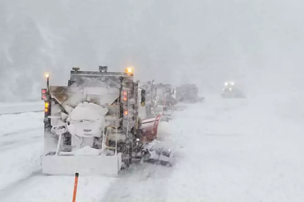
WYDOT Urges 'Don't Crowd the Plow!' After 67 Plows Hit in 3 Years
Gallery Credit: Joy Greenwald
We All Scream For Wyoming Snow Cream
More From KGAB