Strong Winds And Hail Possible In SE Wyoming On Monday
While Monday's weather will start out nice, the afternoon and evening hours could bring some storms featuring strong winds and hail.
That's according to the Cheyenne Office of the National Weather Service. The agency posted the following on its website:
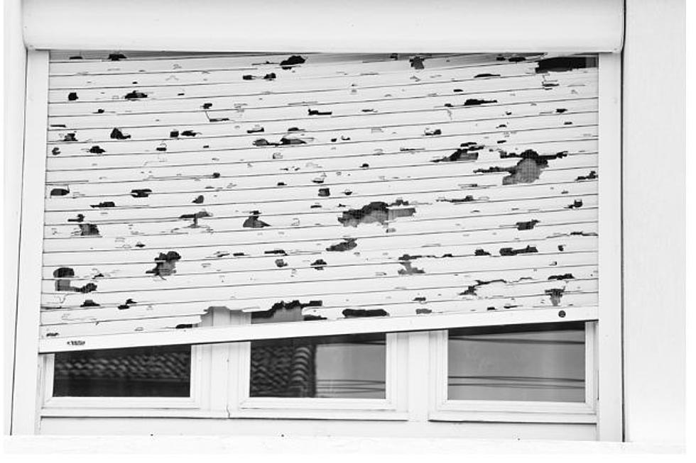
''A cold front moving through the region tomorrow will bring breezy conditions and increasingly numerous storms during the afternoon and evening hours. There is the possibility of marginally severe storms, which could contain strong winds and hail.''
Here is the Cheyenne forecast:
Today
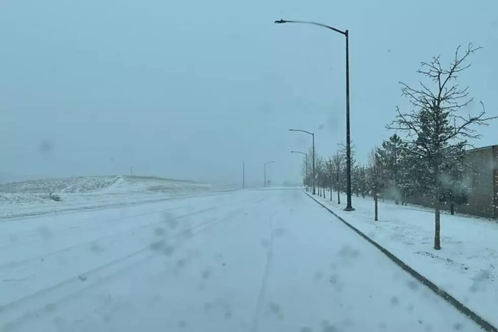
Isolated showers between noon and 3pm, then scattered showers and thunderstorms after 3pm. Some of the storms could produce small hail and gusty winds. Mostly sunny, with a high near 72. Breezy, with a north wind 5 to 10 mph becoming south 15 to 20 mph in the morning. Winds could gust as high as 30 mph. Chance of precipitation is 50%.
Tonight
Showers likely and possibly a thunderstorm before 9pm, then scattered showers and thunderstorms after 9pm. Some of the storms could produce small hail and gusty winds. Mostly cloudy, with a low around 42. Breezy, with a west northwest wind 15 to 20 mph, with gusts as high as 30 mph. Chance of precipitation is 60%. New rainfall amounts of less than a tenth of an inch, except higher amounts possible in thunderstorms.
Tuesday
A 30 percent chance of showers, mainly after noon. Mostly sunny, with a high near 61. Breezy, with a west wind 20 to 25 mph, with gusts as high as 40 mph.
Tuesday Night
A 20 percent chance of showers after midnight. Mostly cloudy, with a low around 37. Breezy, with a northwest wind 15 to 20 mph decreasing to 5 to 10 mph after midnight. Winds could gust as high as 30 mph.
Wednesday
Mostly sunny, with a high near 59. West wind 5 to 15 mph.
Wednesday Night
Mostly clear, with a low around 36.
Thursday
Sunny, with a high near 60.
Thursday Night
Mostly clear, with a low around 35.
Friday
Sunny, with a high near 61.
Friday Night
Mostly clear, with a low around 38.
Saturday
Sunny, with a high near 70.
Saturday Night
Mostly clear, with a low around 44.
Sunday
Sunny, with a high near 72.
Here is the Laramie forecast:
Today
Showers likely and possibly a thunderstorm, mainly after 3pm. Some of the storms could produce small hail and gusty winds. Mostly sunny, with a high near 69. Breezy, with a west wind 5 to 10 mph becoming south 15 to 20 mph in the morning. Winds could gust as high as 30 mph. Chance of precipitation is 60%. New rainfall amounts between a tenth and quarter of an inch, except higher amounts possible in thunderstorms.
Tonight
Showers and thunderstorms likely before 3am, then a slight chance of showers. Some of the storms could produce small hail and gusty winds. Mostly cloudy, with a low around 40. Breezy, with a west wind 15 to 25 mph, with gusts as high as 35 mph. Chance of precipitation is 60%. New rainfall amounts of less than a tenth of an inch, except higher amounts possible in thunderstorms.
Tuesday
A 30 percent chance of showers, mainly after noon. Mostly sunny, with a high near 55. Windy, with a west wind 20 to 30 mph, with gusts as high as 45 mph.
Tuesday Night
A 20 percent chance of showers. Mostly cloudy, with a low around 36. Breezy, with a west northwest wind 15 to 20 mph decreasing to 5 to 10 mph after midnight. Winds could gust as high as 30 mph.
Wednesday
A 20 percent chance of showers after noon. Mostly sunny, with a high near 55. West wind 5 to 15 mph.
Wednesday Night
Mostly clear, with a low around 35.
Thursday
Sunny, with a high near 56.
Thursday Night
Mostly clear, with a low around 34.
Friday
Sunny, with a high near 58.
Friday Night
Mostly clear, with a low around 39.
Saturday
Sunny, with a high near 67.
Saturday Night
Mostly clear, with a low around 42.
Sunday
Sunny, with a high near 68.
Most Extreme October Weather In Cheyenne
A look back at some of October's wildest weather
More From KGAB