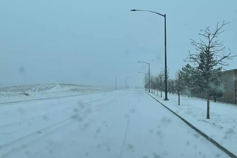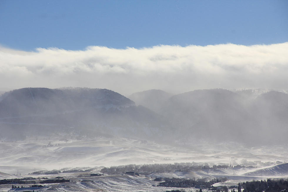
Snow Possible In Some Wyoming Mountain Ranges This Week
While heavy accumulations aren't expected, higher elevations in some Wyoming mountain ranges could see snow this week.
That's according to the Riverton Office of the National Weather Service, which posted the following on its Facebook page:

Those heading into the higher elevations (above 9,000 ft) of the Teton, Absaroka, and Wind River Mtn Ranges may see a few inches of snow for the first week of October. High-elevation passes, such as US-26 over Togwotee Pass, may see impacts due to light snow accumulations. #wywx
WYDOT Urges 'Don't Crowd the Plow!' After 67 Plows Hit in 3 Years
Gallery Credit: Joy Greenwald
More From KGAB