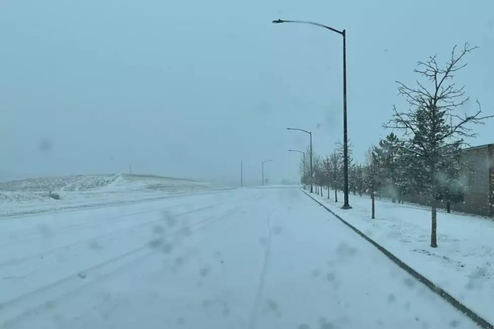
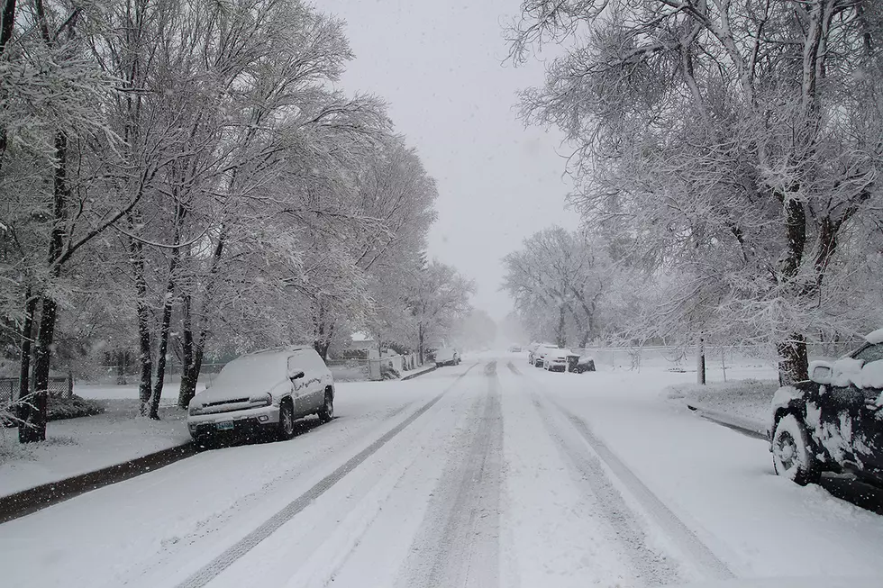
Southeast Wyoming residents can expect continuing rain and snow showers through Monday, followed by a stretch of warmer, dryer weather.

That's according to the Cheyenne Office of the National Weather Service. The agency posted the following on its website:

Here's a look at the weather forecast for southeast Wyoming and Nebraska Panhandle for the upcoming work week. Rain and snow showers will come to end Monday, decreasing through the afternoon from northwest to southeast. Look for warming temperatures and drier weather from Tuesday through Thursday as high pressure builds into the area. Warmest days look to occur Wednesday and Thursday, when we could see 70s in the Panhandle and 60s across much of southeast Wyoming. Next cold front approaches from the west Friday for increasing chances for showers across areas west of the Laramie Range. Enjoy the upcoming spring-like weather!

Forecast for Cheyenne, Laramie

Cheyenne Forecast

Today
A chance of showers between noon and 3pm, then a chance of showers and thunderstorms after 3pm. Partly sunny, with a high near 54. South wind 10 to 15 mph. Chance of precipitation is 50%.
Tonight
Rain showers likely before 8pm, then rain and snow showers likely between 8pm and midnight, then a chance of snow showers after midnight. Some thunder is also possible. Mostly cloudy, with a low around 26. West northwest wind 5 to 10 mph becoming north northeast after midnight. Chance of precipitation is 60%. New snow accumulation of less than a half inch possible.
Monday
A 50 percent chance of snow showers. Mostly cloudy, with a high near 38. Breezy, with a north wind 5 to 10 mph increasing to 15 to 20 mph in the afternoon.
Monday Night
Mostly cloudy, then gradually becoming mostly clear, with a low around 23. Northwest wind 10 to 15 mph.
Tuesday
Sunny, with a high near 53. North northwest wind 10 to 15 mph, with gusts as high as 25 mph.
Tuesday Night
Mostly clear, with a low around 31. Blustery.
Wednesday
Sunny, with a high near 63.
Wednesday Night
Mostly clear, with a low around 32.
Thursday
Sunny, with a high near 67.
Thursday Night
Partly cloudy, with a low around 35.
Friday
Mostly sunny, with a high near 68. Breezy.
Friday Night
A slight chance of rain and snow showers. Partly cloudy, with a low around 32. Breezy.
Saturday
A chance of rain and snow showers. Mostly sunny, with a high near 55. Breezy.
Laramie Forecast
Today
Snow showers likely, mainly after 3pm. Patchy fog before 9am. Otherwise, partly sunny, with a high near 48. Breezy, with a southwest wind 15 to 25 mph, with gusts as high as 35 mph. Chance of precipitation is 70%. Little or no snow accumulation expected.
Tonight
Snow showers likely, mainly before midnight. Some thunder is also possible. Mostly cloudy, with a low around 25. Southwest wind 5 to 15 mph. Chance of precipitation is 60%. New snow accumulation of less than a half inch possible.
Monday
A 50 percent chance of snow showers. Mostly cloudy, with a high near 35. West wind 5 to 15 mph becoming north in the afternoon.
Monday Night
Mostly cloudy, with a low around 23. Northwest wind 10 to 15 mph.
Tuesday
Sunny, with a high near 45. Northwest wind 10 to 15 mph.
Tuesday Night
Mostly clear, with a low around 28.
Wednesday
Sunny, with a high near 55.
Wednesday Night
Mostly clear, with a low around 32.
Thursday
Sunny, with a high near 59.
Thursday Night
Partly cloudy, with a low around 36.
Friday
Partly sunny, with a high near 61. Breezy.
Friday Night
A chance of rain and snow showers. Partly cloudy, with a low around 30. Breezy.
Saturday
Snow showers likely. Partly sunny, with a high near 45. Breezy.

Historic Wyoming Store Restored

Gallery Credit: Glenn Woods

More From KGAB