Up To Eight Inches of Snow Forecast For SE Wyoming
The Cheyenne office of the National Weather Service has issued an update on the Spring storm for Friday, March 31:
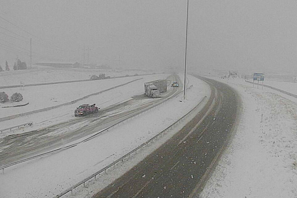
"What this means for southeast Wyoming:
- Confidence is increasing that there will be significant travel impacts along I-80 from Cheyenne to Laramie, including the I-80 Summit.
- The snowfall is expected to begin on the I-80 Summit and the mountains tonight and start spreading to lower elevations above 5000ft on Friday.
- The time frame of highest impact from the snowfall is expected to occur Friday night and continue through Saturday morning with the visibility dropping below 1/2 mile at times.
- Total snow amounts will generally range from 4 to 8 inches in Laramie County with the highest amounts along the I-80 Summit. The city of Laramie may be shadowed by this event with lighter amounts from 2 to 4 possible, but it will still be windy which will still cause impacts.
- The snowy range mountains are expected to receive 6 to 10 inches. Elsewhere, amounts will generally be 2 inches or less.
- Mostly rain below 5000 feet, including Torrington and Wheatland.
What this means for western Nebraska:
- Mostly rain is expected for western Nebraska. Rain will mix with/change to snow down to around 5000 feet. So the higher elevations of Kimball and Banner counties may see 1 to 2 inches of snow accumulations Friday night into Saturday morning. "
More From KGAB