Summer Snow Just Happened in Colorado, Don’t Believe Us? Here’s Photos
While you had your AC cranked, some parts of Colorado got blanketed with fresh snow. It may be the end of August, but it's beginning to look a lot like winter in the Rocky Mountains.

It's a mild week on the Front Range with temps and the 80s and 90s, and though the high in the Fort Collins area is expected to reach around 81 degrees on Friday, up at Berthoud Pass, there was a16 degree wind chill with heavy snow.
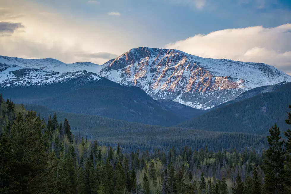
Rocky Mountain National Park also reported three inches of fresh snow between August 19 and August 20. At 8 a.m. Friday morning, the park reported road closures due to whiteout conditions and ice, believe it or not.
Ski area Arapahoe Basin shared that it, too, was dusted with a layer of powder, though not quite enough to ski or ride — yet. But, A-Basin is typically the first ski area to open for the season and often the last to close in the summer as well.
Down here at a lower elevation, it will still remain slightly cooler heading into the weekend (but don't worry, no snow or wind chill is in our forecast). The high on Saturday is expected to be in the low 80s with a chance of storms later in the day. Sunday will warm back up into the low 90s, and mostly clear and sunny, which is how we will start off the week in the Fort Collins area. You can see the full forecast from the National Weather Service here.
Top 5 Rated Colorado Hikes
More From KGAB