Southeast Wyoming Braces For Winter Storm: What To Expect
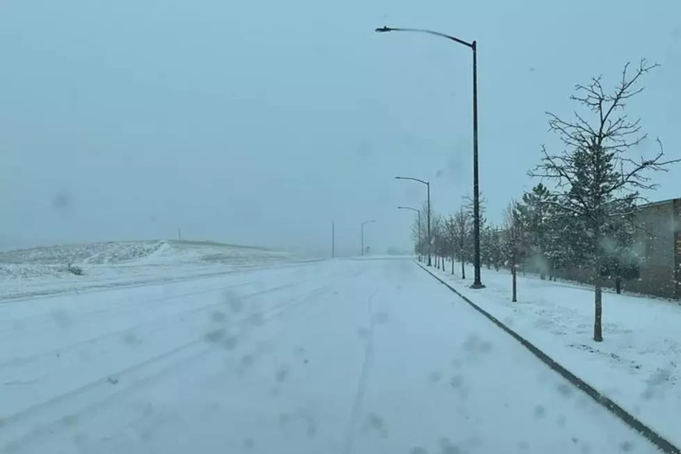
The Cheyenne Office of the National Weather Service says ''confidence is growing" in the likelihood of a winter storm in southeast Wyoming in the latter part of this week.
However, the agency says questions remain about the severity and path of the storm. The agency posted the following on its website:
Confidence is increasing that a winter storm will impact portions of our area on Wednesday through Friday this week. There is still considerable uncertainty in exactly how much snow will fall and where. ❄️ The areas with the highest probability for heavy snow impacts include the Laramie Range, the Snowy Range, and the Cheyenne Ridge. Gusty winds may lead to blowing snow Wednesday night and Thursday. ⏲️ Precipitation will likely begin as a rain/snow mix Wednesday, turning to snow Wednesday afternoon or evening, with the greatest impact time period focused on Wednesday night into early Thursday.
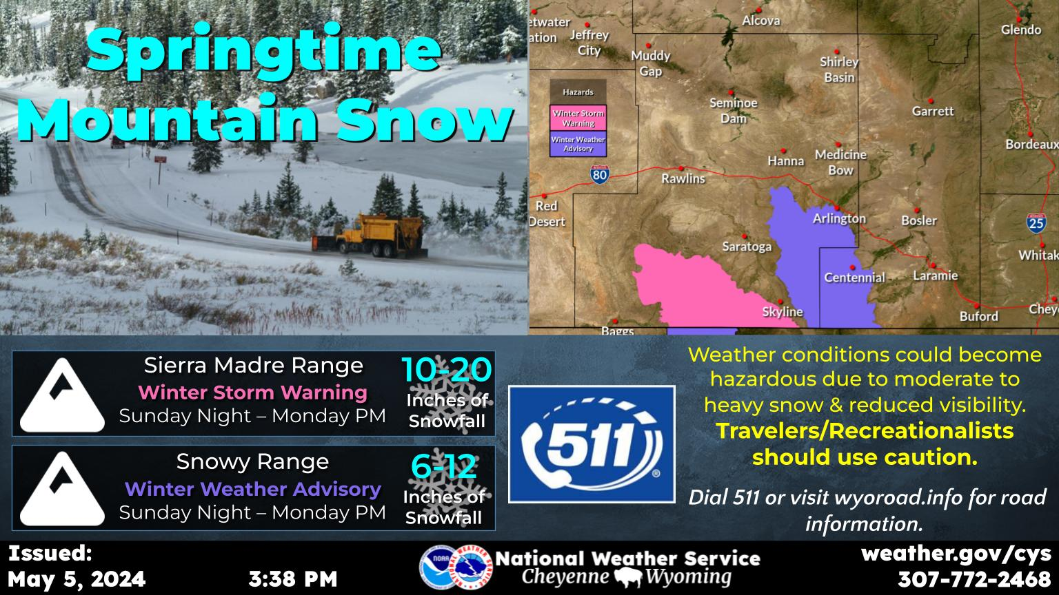
Timeline For Precipitation For Cheyenne, Laramie
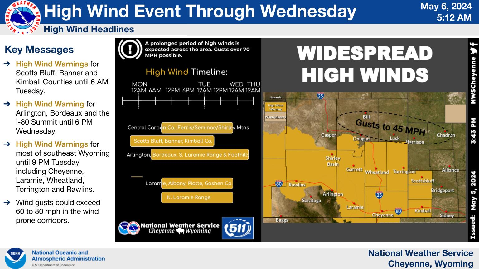
Forecast For Cheyenne, Laramie
Cheyenne Forecast
Historic Wyoming Store Restored
Gallery Credit: Glenn Woods
Top 10 Deadliest States for Highway Driving
Gallery Credit: Kolby Fedore, Townsquare Media
More From KGAB
