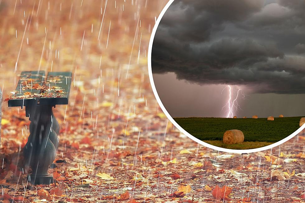
Showers, Strong Thunderstorms Possible in SE Wyoming by Friday
The Cheyenne Office of the National Weather Service has released an updated extended forecast predicting precipitation across SE Wyoming throughout the week.
Did You Know? Autumn used to have another seasonal name: in 12th- and 13th-century Middle English, fall was called 'haerfest' (or harvest). The term 'Fall' associated with the season emerged as people moved to less-agrarian-focused cities. After a time, "harvest" fell out of fashion as folks started to refer to the season as "fall of the leaf," which has since been shortened to 'Fall.'
The forecast calls for an increasing chance of showers and thunderstorms, some of which, NWS states, "could be strong." The week's extended forecast calls for cooler temperatures and breezy conditions across the Southeast portion of the state in addition to the rain, "overall cooler and wetter conditions incoming."
RELATED: Temps to 'Fall' - SE Weekly Forecast Breakdown
Expect drier weather and partly cloudy skies across the area by Sunday.
Cheyenne
Thunderstorms are possible Tuesday through Saturday. The greatest chance of rain and thunderstorms is on Friday, with a 40 percent chance in the evening.
Laramie
Thunderstorms are possible Tuesday through Saturday. The greatest chance of rain and thunderstorms is on Friday, with a 45 percent chance in the evening.
Douglas
Thunderstorms are possible Tuesday through Saturday. The greatest chance of rain and thunderstorms is on Friday, with a 65 percent chance in the afternoon.
Wheatland
Thunderstorms are possible Tuesday through Saturday. The greatest chance of rain and thunderstorms is on Friday, with a 55 percent chance in the evening.
Torrington
Thunderstorms are possible Tuesday through Saturday. The greatest chance of rain and thunderstorms is on Friday, with a 55 percent chance in the evening.
The Top Reasons to 'Fall' in Love with Autumn in Wyoming
Gallery Credit: Phylicia Peterson, Townsquare Media Laramie/Cheyenne
More From KGAB


