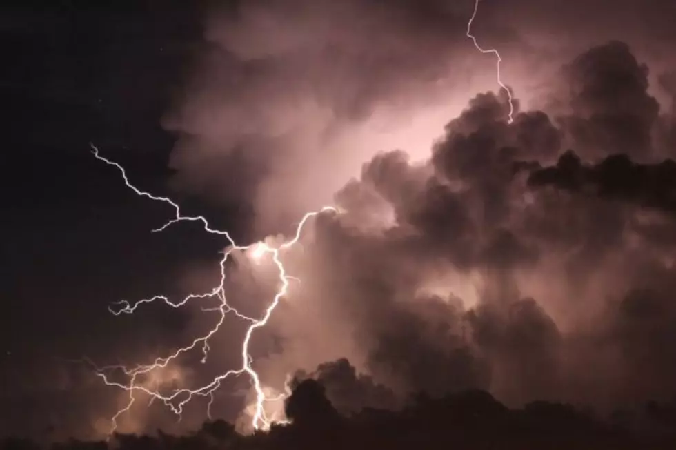
Severe Thunderstorm Watch For Cheyenne Tuesday Evening
The National Weather Service has issued a Severe Thunderstorm Watch in effect until 11:00 PM Tuesday night (August 20). The Watch includes areas of southeastern Wyoming, the Nebraska Panhandle, and parts of Colorado. This includes the city of Cheyenne.
REMEMBER...A Severe Thunderstorm Watch means conditions are
favorable for severe thunderstorms in and close to the watch area.
Persons in these areas should be on the lookout for threatening
weather conditions and listen for later statements and possible
warnings. Severe thunderstorms can and occasionally do produce
tornadoes.
Graphic courtesy National Weather Service
   URGENT - IMMEDIATE BROADCAST REQUESTED
   Severe Thunderstorm Watch Number 607
   NWS Storm Prediction Center Norman OK
   300 PM MDT Tue Aug 20 2019

   The NWS Storm Prediction Center has issued a

   * Severe Thunderstorm Watch for portions of
     Extreme northeast Colorado
     The western Nebraska Panhandle
     Southeast Wyoming

   * Effective this Tuesday afternoon and evening from 300 PM until
     1100 PM MDT.

   * Primary threats include...
     Scattered large hail and isolated very large hail events to 2.5
       inches in diameter possible
     Scattered damaging wind gusts to 70 mph possible

   SUMMARY...Scattered thunderstorm development is expected late this
   afternoon/evening from extreme northeast Colorado into southeast
   Wyoming.  The storm environment will favor discrete supercells with
   isolated very large hail initially, and upscale growth into a
   cluster is possible late this evening with some damaging wind
   potential.

   The severe thunderstorm watch area is approximately along and 50
   statute miles east and west of a line from 45 miles west northwest
   of Chadron NE to 65 miles southeast of Cheyenne WY. For a complete
   depiction of the watch see the associated watch outline update
(WOUS64 KWNS WOU7).More From KGAB