NWS Cheyenne: Potent Winter Storm Possible Early Next Week
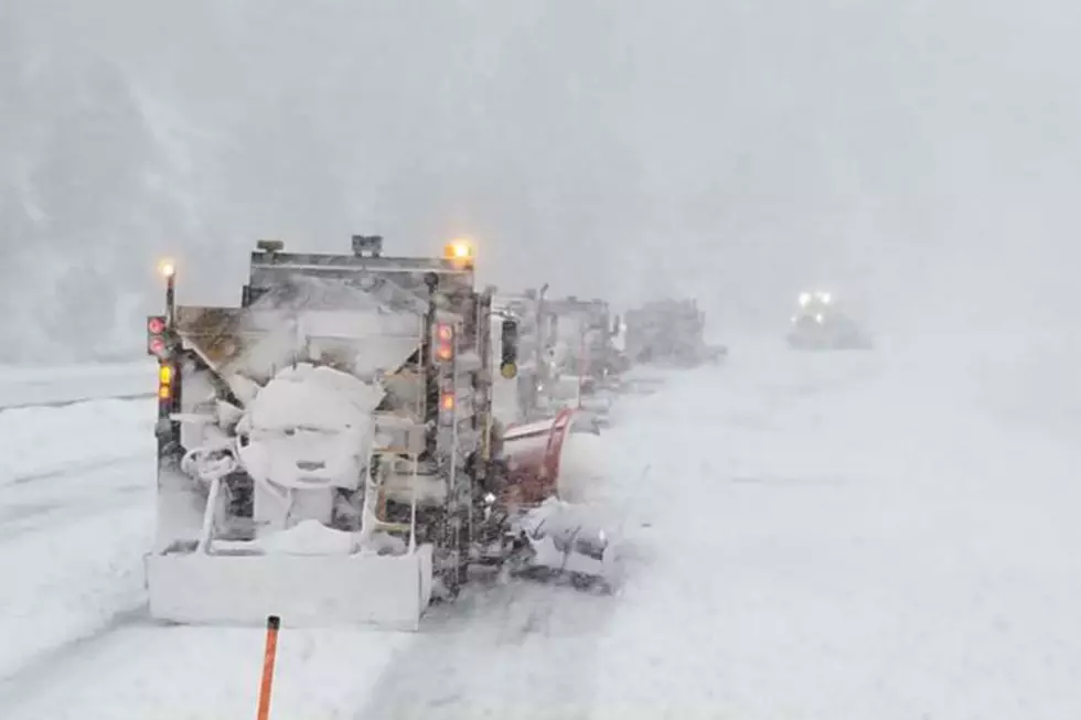
Southeast Wyoming and the Nebraska Panhandle could see heavy snow early next week.
According to the National Weather Service in Cheyenne, confidence is slowly growing in a potent weather system across the High Plains into the Northern Plains Monday morning through Tuesday afternoon.

"Depending on the exact track of this storm, heavy snowfall may occur across a large portion of the forecast area," the NWS said.
"Forecast guidance continues to waffle on the exact track of this strong low pressure system and the area for heavy snow may shift north or south," the NWS added.
The NWS says those with outdoor or travel plans will want to keep a close eye on the forecast and be prepared to adjust their plans if necessary.

30/750PM: Greetings! Heads up for next week, there is the potential for a strong winter storm to impact southeast Wyoming and Nebraska Panhandle. Depending on the exact track of this storm, heavy snowfall may occur across a large portion of the forecast area. Forecast guidance continues to waffle on the exact track of this strong low pressure system and the area for heavy snow may shift north or south. If you have outdoor or travel plans Monday and Tuesday next week, keep a close eye on the forecast.
KEEP READING: Get answers to 51 of the most frequently asked weather questions...
More From KGAB