NWS Cheyenne: Damaging Winds, Large Hail Possible Friday
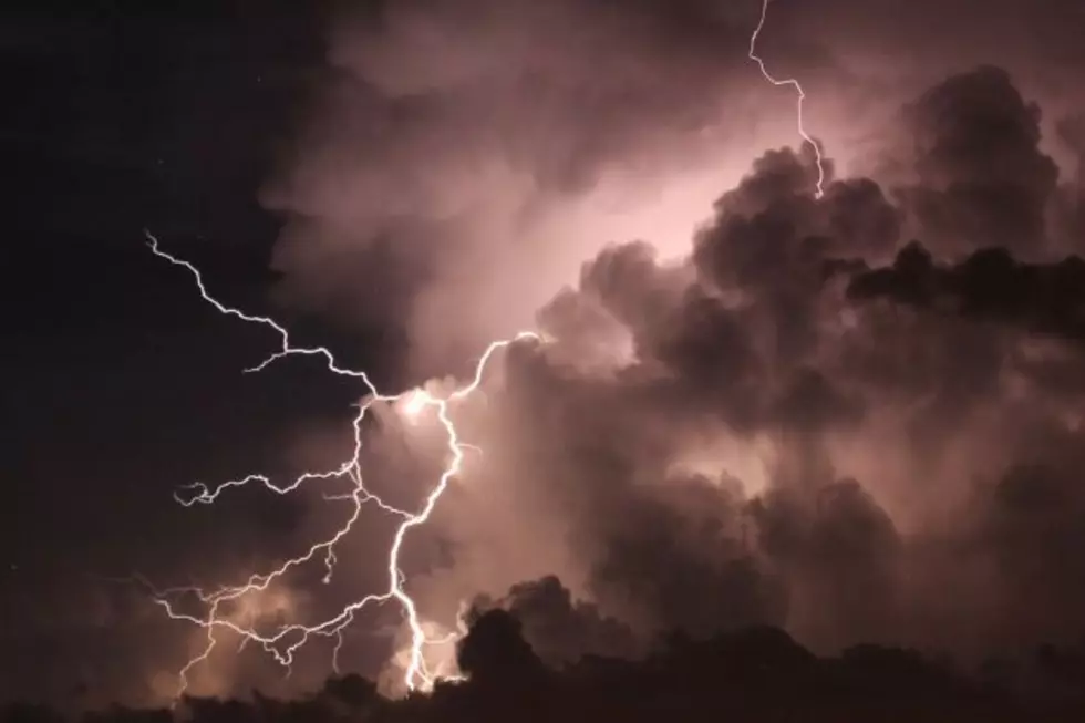
Much of eastern Wyoming and the Nebraska Panhandle are under a marginal risk for severe weather Friday.
The National Weather Service in Cheyenne says the main hazards will include the possibility of damaging winds and large hail.
"Best timing looks to be between 3 and 10 PM as the storms develop in eastern Wyoming, then move eastward through the Nebraska panhandle," the agency said in a statement Thursday afternoon.
The NWS says gusty winds, heavy rainfall, and large hail will be possible again on Saturday, but storm coverage will be slightly lower on Sunday and Monday.
3 PM 5/25 - SPC has issued a Marginal Risk for severe thunderstorms tomorrow! Main hazards will include the possibility of damaging winds and large hail. Best timing looks to be between 3 and 10 PM as the storms develop in eastern Wyoming, then move eastward through the Nebraska panhandle.
May 24 Landspout Spirals Over Cheyenne
Colorado Had a Hailstorm in 1994 that Looked Like the Apocalypse
More From KGAB
