NWS Cheyenne: Chance of Mountain Snow, Rain Mid Next Week
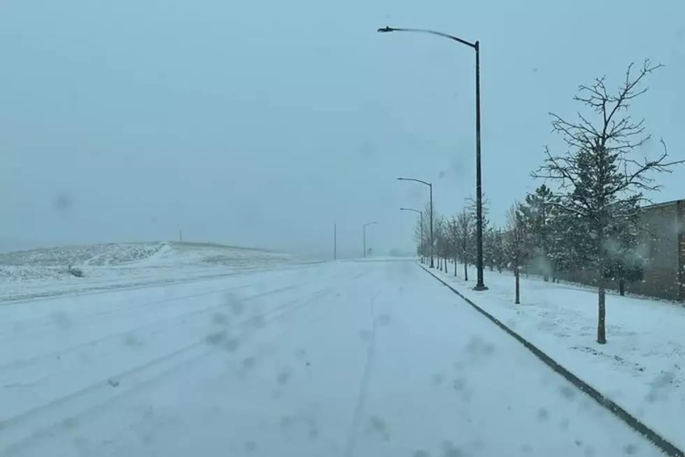
Snow and rain could return to southeast Wyoming starting late Tuesday, as a low-pressure system moves into the region.
The National Weather Service in Cheyenne issued the following statement Friday morning:

Get our free mobile app
weather.gov/cys
April 2nd Morning Update: With the ongoing dry pattern continuing into this weekend, we wanted to highlight the chance of precipitation possibly mid next week. Models seem to agree on a low pressure system arriving late Tuesday to our region. There is still forecast uncertainty on how long the precipitation will last and amounts for each city. Please continue to monitor your local forecasts for any impacts at weather.gov/cys
5 of the Biggest Spring Blizzards In Wyoming History
More From KGAB