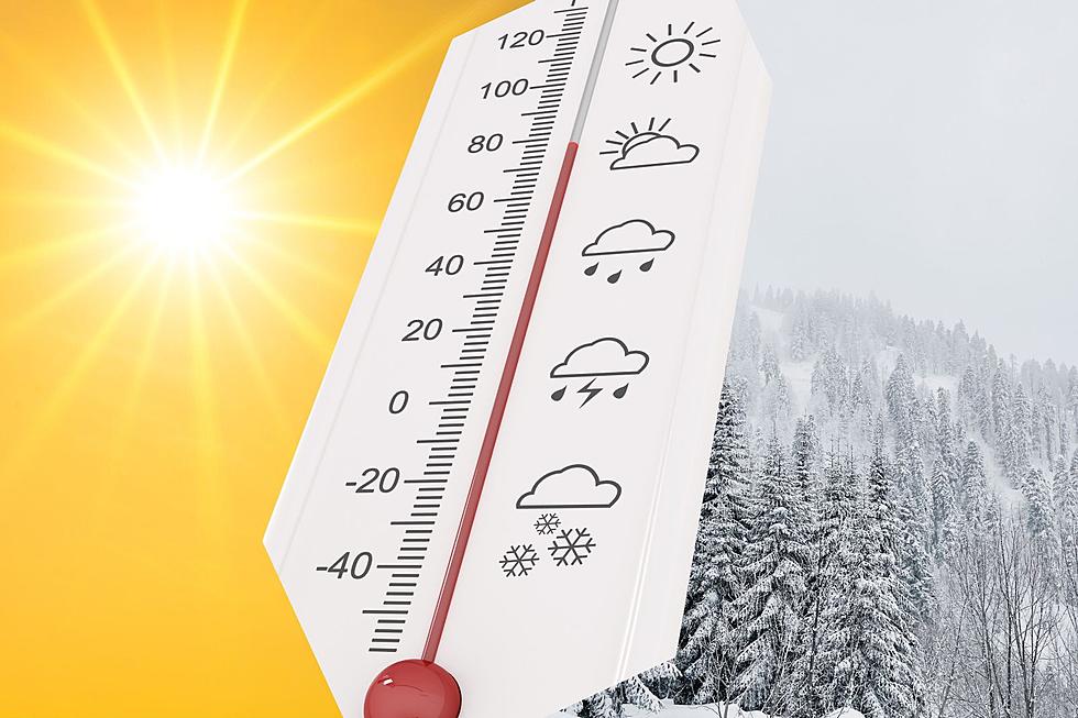
NWS Cheyenne: Brief Warm-Up, Then Another Blast of Cold and Snow
Warmer temperatures can be expected across southeast Wyoming and the Nebraska Panhandle this afternoon and Thursday before another round of cold and snow arrives Thursday night, the National Weather Service in Cheyenne says.
Highs are expected to climb into the mid-50s to mid-60s today and could reach 70 degrees Thursday, but a cold front will move through Thursday night bringing chances for snow.
"This system will be quick moving and significant snow accumulations are not expected," the NWS said.

The NWS says Friday will be "much cooler," with morning lows in the 20s and 30s and highs in the mid-40s to mid-50s.
"Precipitation ends Friday afternoon," the NWS said. "Spring-like temperatures return this weekend."

400am, April 26th- Warmer weather expected over the next few days. Clouds are expected to clear out later this morning with sunny skies expected for the afternoon. Clouds increase Thursday as a cold front moves across the area bringing chances for snow. This system will be quick moving and significant snow accumulations are not expected. Friday will be much cooler and precipitation ends Friday afternoon. Spring-like temperatures return this weekend.
Amazing and Intriguing Weather Folklore
KEEP READING: Get answers to 51 of the most frequently asked weather questions...
More From KGAB