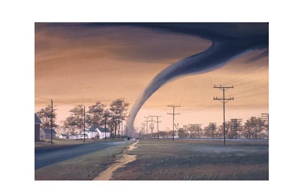
The Cheyenne Office of the National Weather Service is predicting severe storms for much of southeast Wyoming and the Nebraska Panhandle today [June 21].

The agency posted the following on its website early this morning:

A big weather day is expected across southeast Wyoming and Nebraska Panhandle as a cold front settles into the area. All ingredients will be in place (instability, shear, moisture and lift) for storms to become severe. A Slight Risk area for severe thunderstorms from the Storm Prediction Center has the entire Nebraska Panhandle west to the Laramie Range outlined. Damaging downburst winds to 70 mph, hail to the size of baseballs and tornadoes are possible with the bigger storms this afternoon and evening. Keep an eye on the sky today, have multiple ways to receive weather information and warnings. Know where your storm shelter is located before the warnings begin. Stay tuned for later updates in the forecast!

Here is the Cheyenne forecast:

Today
Showers and thunderstorms likely, mainly after 4pm. Some storms could be severe, with large hail and damaging winds. Mostly sunny, with a high near 75. North northwest wind 5 to 15 mph becoming southeast in the afternoon. Chance of precipitation is 60%. New rainfall amounts of less than a tenth of an inch, except higher amounts possible in thunderstorms.
Tonight
Showers and thunderstorms likely, mainly before 11pm. Some of the storms could produce heavy rain. Mostly cloudy, with a low around 53. East southeast wind 5 to 15 mph becoming south after midnight. Winds could gust as high as 25 mph. Chance of precipitation is 70%. New rainfall amounts between a half and three quarters of an inch possible.
Thursday
A chance of showers and thunderstorms, then showers and possibly a thunderstorm after noon. Some storms could be severe, with large hail and damaging winds. High near 70. South southwest wind 10 to 15 mph becoming east southeast in the afternoon. Chance of precipitation is 80%.
Thursday Night
Showers and thunderstorms before 9pm, then showers and possibly a thunderstorm between 9pm and midnight, then a slight chance of showers and thunderstorms after midnight. Some storms could be severe, with large hail and damaging winds. Low around 53. South wind 10 to 15 mph. Chance of precipitation is 80%.
Friday
A 40 percent chance of showers and thunderstorms after noon. Mostly cloudy, then gradually becoming sunny, with a high near 77. South wind 10 to 15 mph.
Friday Night
Mostly clear, with a low around 49.
Saturday
Sunny, with a high near 78. Breezy.
Saturday Night
Mostly clear, with a low around 47. Breezy.
Sunday
A slight chance of showers and thunderstorms after noon. Sunny, with a high near 71.
Sunday Night
A slight chance of showers and thunderstorms before midnight. Mostly clear, with a low around 50.
Monday
A slight chance of showers and thunderstorms. Mostly sunny, with a high near 76.
Monday Night
A chance of showers and thunderstorms. Partly cloudy, with a low around 51.
Tuesday
A slight chance of showers and thunderstorms. Sunny, with a high near 80. Breezy.
Here is the Laramie forecast:
Today
Showers and thunderstorms likely, mainly after 3pm. Some storms could be severe, with large hail and damaging winds. Mostly sunny, with a high near 72. Northwest wind 5 to 10 mph becoming east 10 to 15 mph in the morning. Chance of precipitation is 60%. New rainfall amounts of less than a tenth of an inch, except higher amounts possible in thunderstorms.
Tonight
Showers and thunderstorms likely, mainly before 1am. Some storms could be severe, with large hail and damaging winds. Mostly cloudy, with a low around 50. South wind 10 to 15 mph. Chance of precipitation is 70%. New rainfall amounts between a tenth and quarter of an inch, except higher amounts possible in thunderstorms.
Thursday
A chance of showers and thunderstorms, then showers and possibly a thunderstorm after noon. Some storms could be severe, with large hail and damaging winds. High near 66. South wind 10 to 15 mph becoming east in the morning. Chance of precipitation is 90%.
Thursday Night
Showers and thunderstorms likely before 9pm, then showers likely and possibly a thunderstorm between 9pm and midnight. Some storms could be severe, with large hail and damaging winds. Mostly cloudy, with a low around 51. East wind 10 to 15 mph becoming south after midnight. Chance of precipitation is 70%.
Friday
A 40 percent chance of showers and thunderstorms after noon. Mostly sunny, with a high near 75. South wind 10 to 15 mph.
Friday Night
Mostly clear, with a low around 48.
Saturday
Sunny, with a high near 73. Breezy.
Saturday Night
Mostly clear, with a low around 44. Breezy.
Sunday
A slight chance of showers and thunderstorms after noon. Sunny, with a high near 68.
Sunday Night
Mostly clear, with a low around 48.
Monday
A slight chance of showers and thunderstorms. Sunny, with a high near 75.
Monday Night
A slight chance of showers and thunderstorms. Partly cloudy, with a low around 49.
Tuesday
A slight chance of showers and thunderstorms. Mostly sunny, with a high near 78. Breezy.

Wyoming Weed & Pest's Most Notorious Species

June 05, 2023

More From KGAB