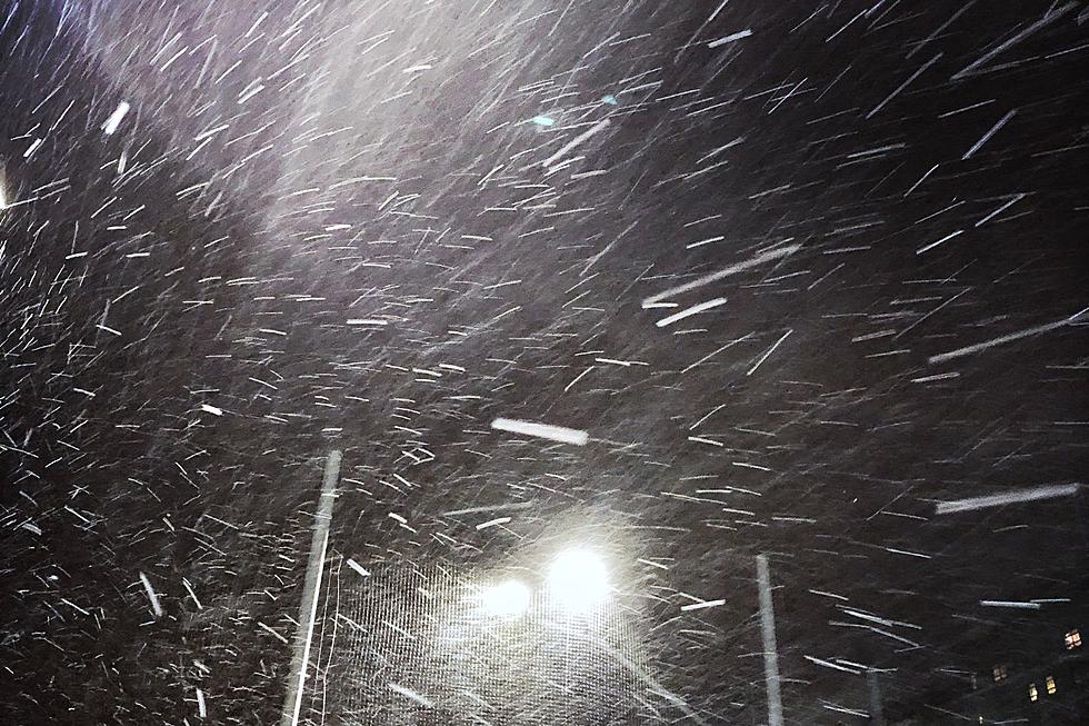
Blizzard Warnings in Effect for Portions of Southeast Wyoming, Panhandle
Blizzard Warnings are in effect through 6 p.m. Tuesday for portions of southeast Wyoming and the northern Nebraska Panhandle, where up to two feet of snow could fall.
According to the National Weather Service in Cheyenne, the heaviest snow is expected to occur tonight and Tuesday, with wind gusts of up to 40 to 50 mph at times.
"Blowing snow within the Blizzard Warnings will lead to hazardous travel conditions Tuesday," the NWS said.

The NWS says the snow will begin to taper off Tuesday night and Wednesday, but the gusty winds will continue through Wednesday, creating blowing snow and reduced visibility.
Drivers are encouraged to call 511 or visit wyoroad.info for the latest road conditions and closures.

April 3rd, 4:15pm Update: New Blizzard Warnings have been issued for portions of southeast Wyoming and the northern Nebraska Panhandle. Additional snowfall totals between noon Monday and 6am Wednesday are shown in the larger image. Blowing snow within the Blizzard Warnings will lead to hazardous travel conditions Tuesday.
WYDOT Urges 'Don't Crowd the Plow!' After 105 Plows Hit in 5 Years
Gallery Credit: Joy Greenwald
More From KGAB


