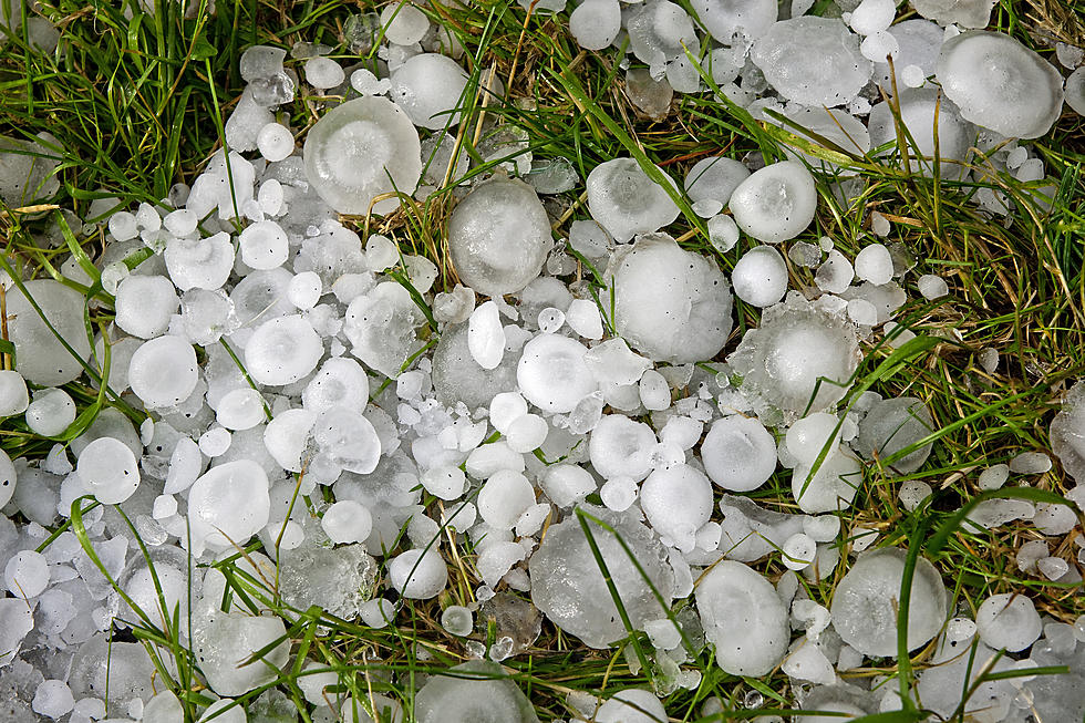
The Cheyenne Office of the National Weather Service says a cool front that is expected to hit southeast Wyoming over the next few days may bring heavy rain and some severe storms to the region.
The agency posted the following on its website:
A cool front is expected to sweep through the area on Wednesday...
The Cheyenne Office of the National Weather Service says strong to severe thunderstorms are possible in southeast Wyoming on July 4th.
Both Cheyenne and Laramie are at risk for the severe weather. .
The agency posted this map and graphic on its website:
There is a Slight Risk for severe thunderstorms along portions of the Interstate 80 corridor including Cheyenne and Laramie today, with a Marginal
Scattered severe thunderstorms will be possible this afternoon across southeast Wyoming and western Nebraska with large hail and damaging winds possible.
Storms with lightning, gusty winds, and potentially heavy rainfall are in the forecast for southeast Wyoming and the Nebraska Panhandle over the weekend.