Another round of moderate snow may impact portions of southeast Wyoming after midnight towards early Saturday morning, the National Weather Service in Cheyenne says.
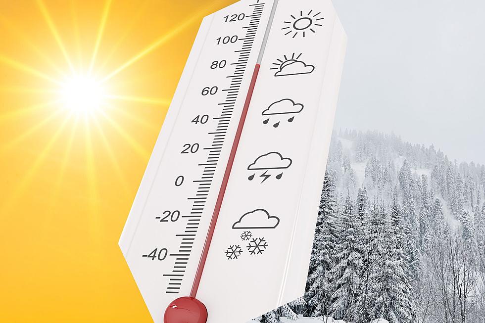
Areas east of the Laramie Range and into the Nebraska Panhandle could see record-high temperatures Tuesday, but the warm weather won't be sticking around.
Wind gusts of up to 65 mph are expected to rip through southeast Wyoming this weekend into early next week, according to the National Weather Service in Cheyenne.
Much of east-central Wyoming and the western Nebraska Panhandle will see dangerously hot conditions again Friday, but the NWS says relief is on the way.
Parts of southeast Wyoming could see just under an inch of rain and a few inches of snow this Memorial Day weekend, according to the National Weather Service in Cheyenne.
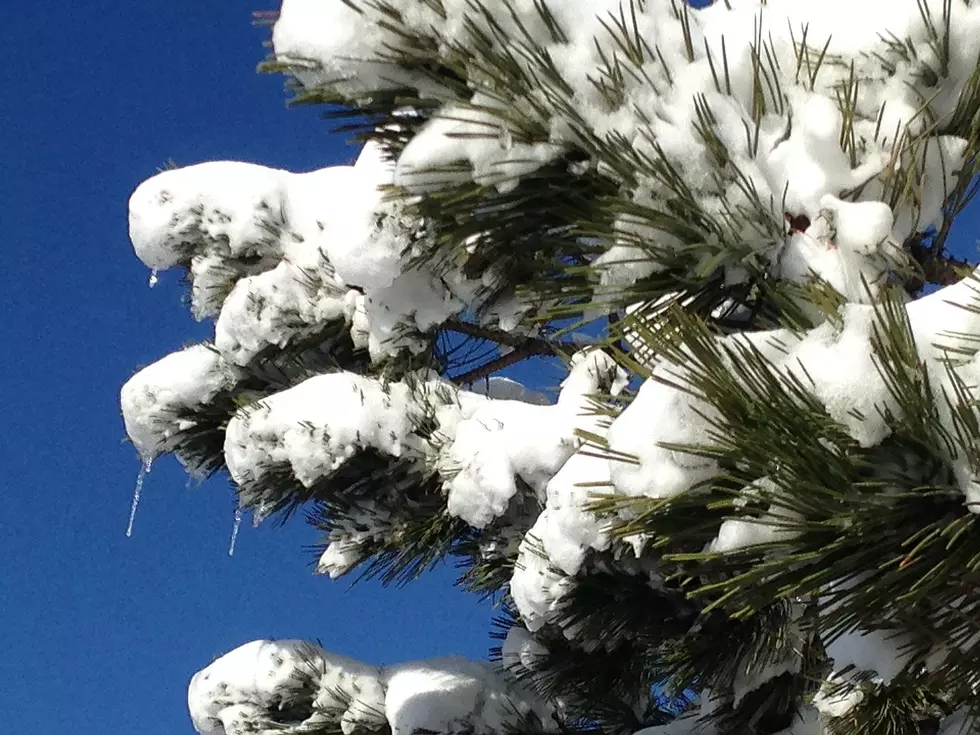
It was just three years ago tomorrow that a whopping 5 inches of snow fell in the capital city, smashing the previous record for May 20 of 0.8 inches set in 2001.