NWS Cheyenne: ‘Pretty Good Snow’ Possible This Weekend
It looks like Mother Nature may have a few tricks in store for us this weekend after all.
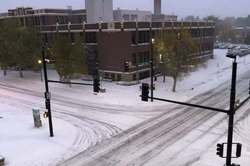
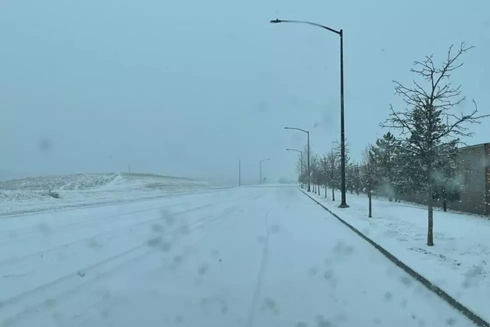
According to the National Weather Service in Cheyenne, the Laramie Range and points west could see some pretty good snow accumulations Saturday night into Sunday.
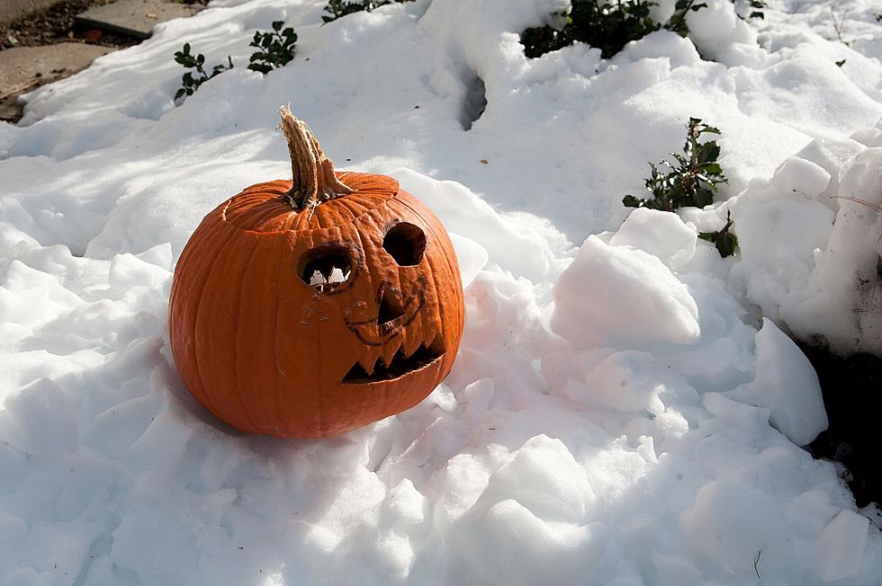
This could make for some scary travel conditions on Halloween.

The NWS issued the following statement early Wednesday morning:
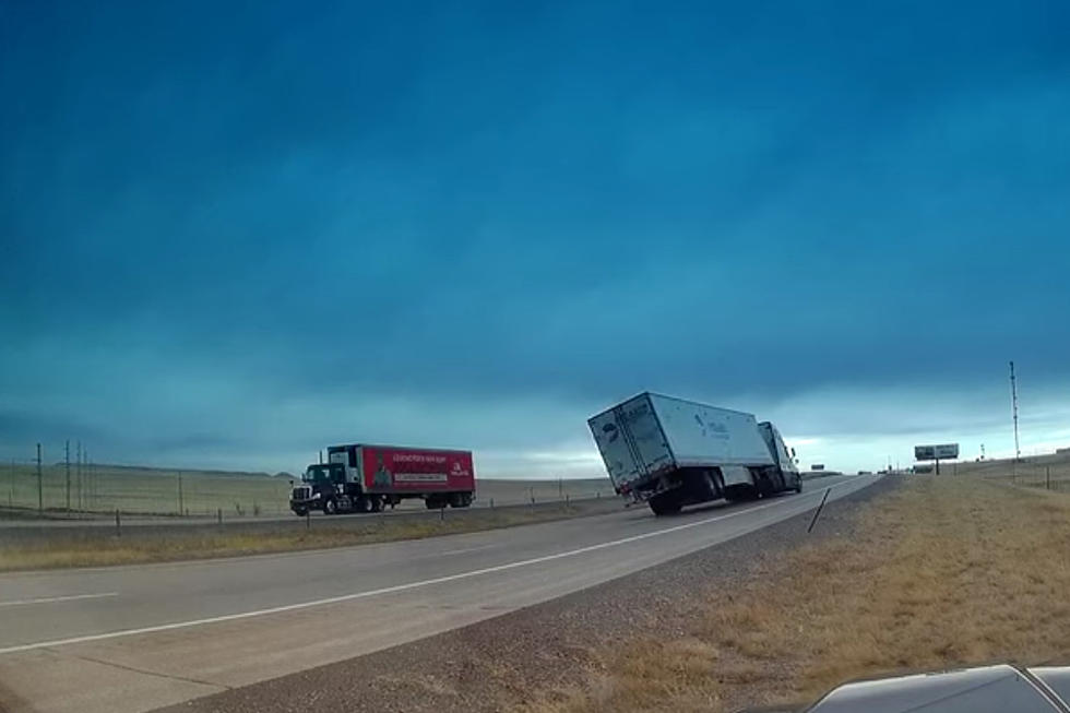
27/315AM: Greetings! Here's the weather forecast for southeast Wyoming and Nebraska Panhandle through the first part of next week. We have High Wind Warnings for the I-80 Summit and Arlington areas today for northwest wind gusts to 65 mph. Snow showers will continue today for the Snowy and Sierra Madre Ranges. Outside these ranges, dry weather will prevail. Need to be watching the weather Saturday night into Sunday as our next cold front moves through. Could see some pretty good snow accumulations Saturday night into Sunday, especially from the Laramie Range and points west. Sunday could see Moderate travel impacts as snow continues through the day. This front will bring much colder temperatures to the area. Highs in the 30s with lows in the teens will be common Sunday and Monday next week. Stay tuned!
18 Most Terrifyingly Haunted Places in Wyoming
25 Scaredy Cat-Approved Halloween Movies
A Look Back At Cheyenne's Worst October Snow Storms
More From KGAB