National Weather Service: Wyoming To Bear Bad Weather To Saturday
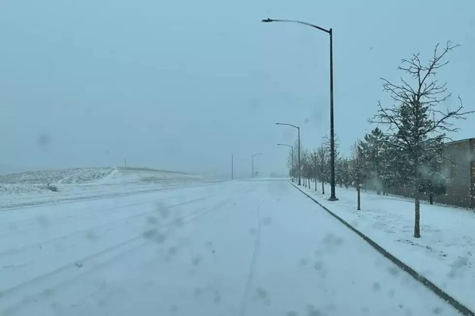
A variety of weather conditions have created hazards from avalanche to flood warnings to high winds -- a 120 mph gust in Clark, for example -- across the state for today into Saturday, according to the Riverton office of the National Weather Service.
Flooding: The combination of downslope winds and warming temperatures Thursday evening melted snow in the lower eastern foothills of the Wind River Mountains. A flood warning is in effect for the eastern slopes of the mountains and nearby areas until late afternoon.
Other flood advisories are in effect for foothill locations east of the Continental Divide in Park, Hot Springs, Fremont Johnson and Sheridan counties, and for the Jackson and Star valleys in far west Wyoming.
Precipitation: Rain and snow will fall across western Wyoming today with rain changing to snow in the far west valleys this afternoon.
As of 6 a.m., three-quarters of an inch to an inch-and-a-half of precipitation had fallen across much of far west Wyoming, with localized amounts of 2 to 3 inches. Additional precipitation will range from a half-inch to three-quarters of an inch through tonight. Snowfall in the Western mountains is expected to be 12 to 24 inches.
Winter storm warnings are in effect for Park, Teton, Lincoln,Sublette, Fremont, Albany and Carbon counties.
Winter weather advisories are in effect for Sublette and Lincoln counties, too.
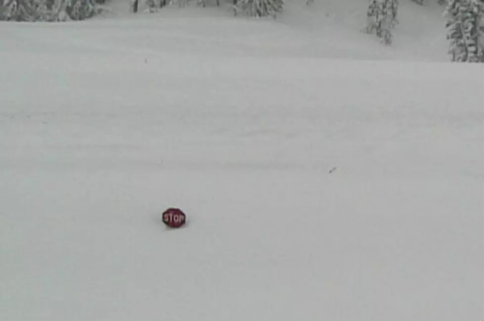
Avalanche Danger: The wet and wintry conditions have caused additional challenges across far west valleys. Avalanche danger is rated high to extreme in the western mountains. Visit JHAvalanche.org for more avalanche information.
Avalanche-related road closures are expected to continue on Teton Pass (Wyoming Highway 22) and U.S. Highway 89 through the Snake River Canyon. Teton Pass is not expected to be open until after 8 a.m. Saturday, while Snake River Canyon is not expected to open until later today. U.S. Highway 189/191 through Hoback Canyon is also closed.
Be sure to check the latest road conditions at wyoroad.info or by downloading the WYDOT mobile app.
High Wind: East of the Continental Divide, strong winds blew through Thursday night. Wind reports Thursday evening showed many locations gusting in excess of 50 mph with a peak of 120 mph west of Clark on Thursday afternoon.
High wind warnings are in effect for Carbon, Albany, Laramie and Platte counties.
WYDOT has closed Interstate 80 to light, high profile vehicles from Elk Mountain to the Nebraska border.
More From KGAB

