Winter Weather Headed Towards Southeast Wyoming
The National Weather Service office in Cheyenne has issued the following statement:
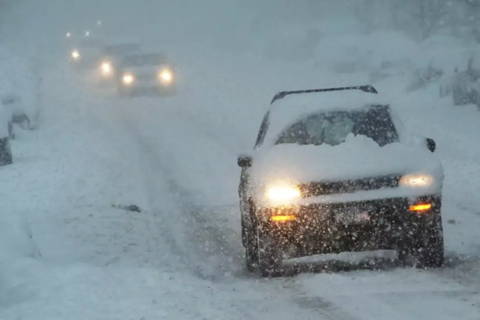
Big Picture: Snow will begin in the mountains of southeast Wyoming tonight, spreading into the nearby high valleys Monday morning. Southwest winds may become a bit breezy across Carbon County, thus travel conditions could become hazardous. As the system strengthens on Monday night and Tuesday, snow will develop over the plains of Wyoming and western Nebraska. Northwest winds will become gusty as well through Tuesday. See attached graphic for snow amounts and winter headlines. Please note that these accumulation are through Tuesday evening.
Timing: There is Moderate to High confidence with the timing of this storm and when we'll see impacts. Here are the time ranges of when we expect the worst impacts:
•Sunday night through Monday for areas west of the Laramie Range including Rawlins, Laramie, Saratoga and Interstate 80 west of Laramie.
•Monday night through Tuesday for southeast Wyoming along and east of the Laramie Range including Cheyenne, Wheatland, Douglas, Torrington and Interstate 80 from the Summit to the Nebraska state line.
•Tuesday through late Tuesday night for most of western Nebraska including Sidney, Scottsbluff, Chadron, Kimball, and Interstate 80 from the Wyoming state line to Sidney.
There is increasing confidence with snow accumulations and wind impacts even though some uncertainty remains:
What To Expect
•Winds: For Carbon County on Monday, we are looking at southwest winds 15 to 25 mph with higher gusts. For the areas east of I-25 on Tuesday, expect north to northwest winds 15 to 30 MPH with higher gusts. Visibilities may be reduced to less than one half mile in snow and blowing snow, especially north of the North Platte River.
•Snow Accumulations: 8-12" in the Snowy & Sierra Madre mountains tonight through Monday evening with an additional 3-6" on Tuesday. 2-5" across the lower elevations of Carbon and Albany County by Tuesday evening. 3-6" in the Laramie Range. 1-3" areas east of the Laramie Range, with 3" to 7" near the Pine Ridge including Lusk, WY, Chadron & Harrison, NE.
•Blowing and Drifting Snow: Most areas will receive some drifting snow late Monday through Tuesday. Blowing snow along with falling snow are most likely across the I-80 summit, I-80 between Laramie and Rawlins, and the northern Nebraska panhandle with gusts up to 45 mph possible.
More From KGAB