Winter Storm Watches Issued For Wyoming Storm
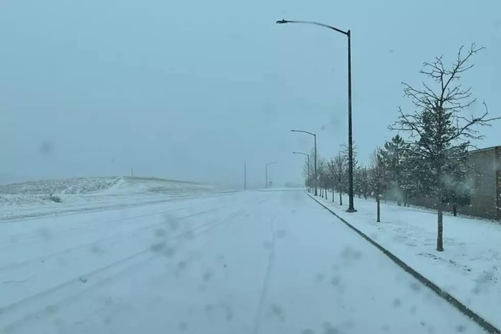
The National Weather Service office in Cheyenne has issued several watches and advisories ahead of a winter storm expected to hit the area on Thursday.
The following statement was released on Wednesday morning:
Timing
* Increasing Confidence with the timing
Thursday morning through early Thursday evening west of Interstate 25
Thursday midday through early Thursday night along and east of Interstate 25
Snow Amounts/Winds
* High Confidence that all areas will see the first accumulating snow.
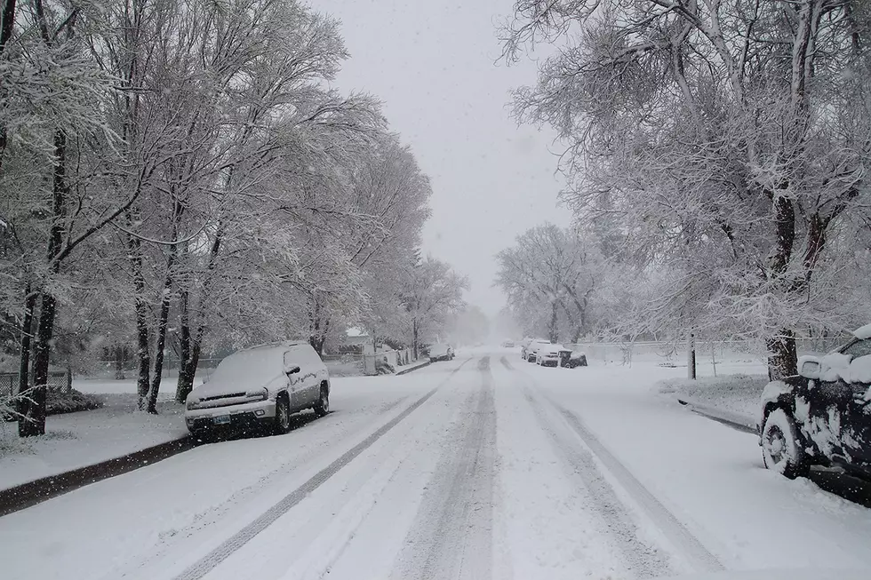
* Snow Accumulations generally 2 to 5 inches across lower elevations with 6 to 9 inches in the mountains. See Snow Accumulation Graphic below.
* North Winds sustained at 20 to 25 mph with gusts to 35 mph. This will create some blowing snow concerns from Thursday afternoon into Thursday evening, mainly over areas to the east of the Laramie Range.
Winter Storm Headlines
* Winter Storm Watches have been issued for areas along and east of the Laramie Range in southeast Wyoming. The northern Nebraska Panhandle is also included in a Watch. See Winter Storm Headline Graphic below. Winter Weather Advisories will likely be issued for the remainder of the area later today or tonight.
More From KGAB