Weather Service Updates Wyoming/Nebraska Storm Projections
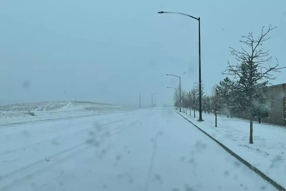
The National Weather Service office in Cheyenne has updated it's projections for a winter storm that is expected to hit parts of Wyoming starting Thursday evening.
Forecaster Tim Trudel has issued the following statement:
"We still expect a strong storm to develop across eastern Colorado and track eastward. Thankfully, forecast guidance over the past 18 hours has trended further south with the position of this storm, with development now over far southeast Colorado. This change has shifted to heavy precipitation southward, mostly in Colorado and southwest Nebraska. However, please note that this is still very close to the Wyoming border and the I-80 corridor.
What this means for southeast Wyoming:
Highest confidence for significant travel impacts will be along I-80 from Cheyenne to Laramie, including the summit. Moderate to heavy snowfall and gusty winds will reduce visibility below one half mile Thursday night & Friday morning. A Winter Storm Watch has been issued for the I-80 summit and foothills through 9 AM Friday for the potential for dangerous travel conditions.
Precipitation will start as rain in most areas. As temperatures lower Thursday night, rain will gradually mix with and change to snow down to around 5000 feet. A period of heavy snow late Thursday night may result in a quick 1 to 3 inches before ending Friday morning including Rawlins, Laramie, Cheyenne, and Pine Bluffs. Some blowing & drifting snow is possible along and east of Interstate 25, but this will heavily depend on snow amounts.
Mostly rain below 5000 feet, including Torrington and Wheatland.
What this means for western Nebraska:
Mostly rain is expected for western Nebraska. Rain will mix with/change to snow down to around 5000 feet. So the higher elevations of the Pine Ridge as well as Kimball and Banner counties may see some light snow accumulations early Friday morning.
Very windy conditions are expected Thursday night with gusts up to 45 mph.''.
More From KGAB