Severe Thunderstorm Warning Issued for SE Laramie County
Severe Thunderstorm Warning
WYC021-250015-
/O.NEW.KCYS.SV.W.0162.180724T2329Z-180725T0015Z/
BULLETIN - IMMEDIATE BROADCAST REQUESTED
Severe Thunderstorm Warning
National Weather Service Cheyenne WY
529 PM MDT TUE JUL 24 2018
The National Weather Service in Cheyenne has issued a
* Severe Thunderstorm Warning for...
Southeastern Laramie County in southeastern Wyoming...
* Until 615 PM MDT.
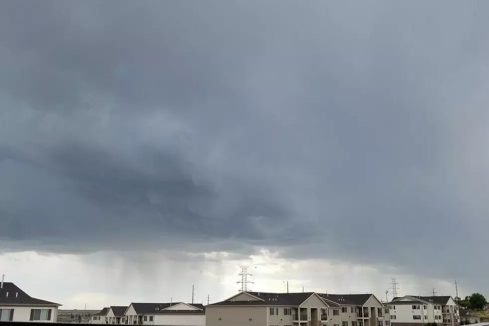
* At 528 PM MDT, a severe thunderstorm was located near Hillsdale, or
12 miles east of Cheyenne, moving east at 20 mph.
HAZARD...60 mph wind gusts and half dollar size hail.
SOURCE...Radar indicated.
IMPACT...Hail damage to vehicles is expected. Expect wind damage
to roofs, siding, and trees.
* Locations impacted include...
Burns, Hillsdale and Carpenter.
This includes Interstate 80 in Wyoming between mile markers 371 and
398.
PRECAUTIONARY/PREPAREDNESS ACTIONS...
To report severe weather, contact your nearest law enforcement
agency. They will send your report to the National Weather Service
office in Cheyenne.
Large hail and damaging winds and continuous cloud to ground
lightning is occurring with this storm. Move indoors immediately.
Lightning is one of nature`s leading killers. Remember, if you can
hear thunder, you are close enough to be struck by lightning.
&&
LAT...LON 4116 10465 4130 10460 4125 10407 4100 10419
4100 10434
TIME...MOT...LOC 2328Z 286DEG 18KT 4119 10456
HAIL...1.25IN
WIND...60MPH
$$
TrudelMore From KGAB