Cheyenne Weather Service: Hail, Flooding Possible Saturday
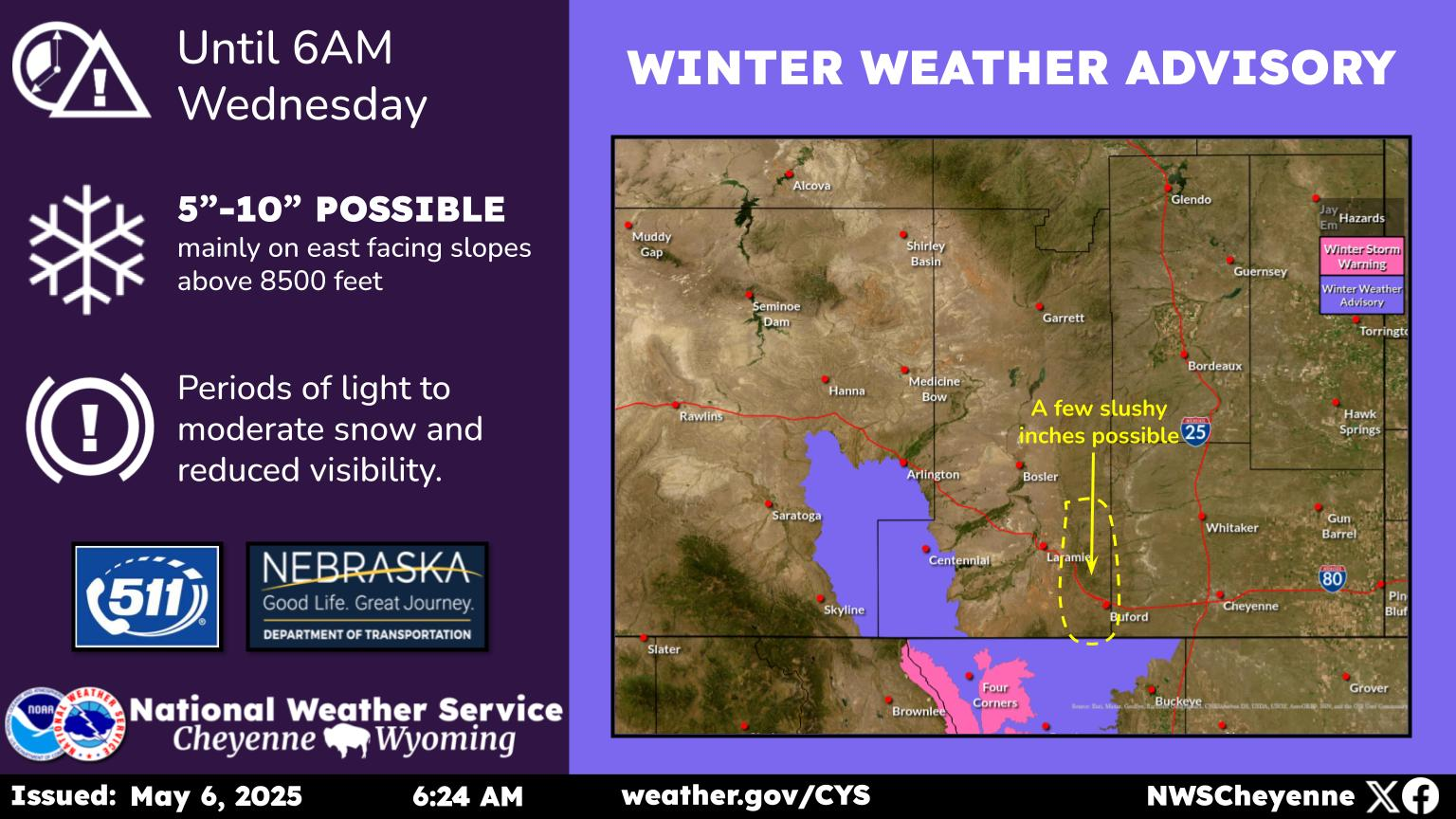
The Cheyenne office of the National Weather Service is warning people about the possibility of hail, strong winds and some localized flooding in southeast Wyoming and the Nebraska panhandle on Saturday.
The weather service has issued the following statement:
August 18th Morning Update: A Pacific system will move across southeast Wyoming and western Nebraska today bringing some cooler temperatures for Sunday and Monday. There is a marginal risk of severe thunderstorms beginning around noon today just west of Interstate 25. The thunderstorms are expected to move east through the afternoon across the eastern plains. Hail, strong gusty winds, and some localized flooding are possible with these thunderstorms. If you are planning any outdoor activities Saturday, please be aware of any thunderstorms in the area and seek shelter.
More From KGAB